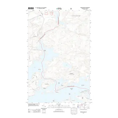
2013 Map of Vermilion Dam
USGS Topo · Published 2013About this map
Vermilion Lake and the dense woodlands of the Superior National Forest define this 2013 survey of northeast St. Louis County. The landscape is a complex archipelago of named landforms, including Oak Island, Hinsdale Island, and Knotts Island, which divide the open waters of the lake from the narrow channels of the north. Significant recreational infrastructure is visible, such as the Hinsdale Island Campground and numerous access routes including Retreat Lodge Rd and Paradise Point Rd. The northern portion of the map traces the upper reach of the Vermilion River as it exits the lake system, fed by smaller tributaries like Twomile Cr and Little East Creek. This map documents a region where water-access tourism and forest management intersect among the intricate shorelines of the Arrowhead region.
Find a feature on this map
40 named features on this map. Tap any name to fly to it.
Don’t see what you’re looking for? This feature index may not catch every label — zoom into the map to look around manually.
Map Details
Editions of this 2013 Vermilion Dam Map
This is the sole edition of this map. No revisions or reprints were ever made.
Other maps of this area

1954 · Hibbing
USGS Topo · 1:250,000

1954 · International Falls
USGS Topo · 1:250,000

1956 · Sioux Pine Island
USGS Topo · 1:24,000

1956 · Tower
USGS Topo · 1:24,000

1956 · Vermilion Dam
USGS Topo · 1:24,000

1956 · Lost Lake
USGS Topo · 1:24,000

1957 · Hibbing
USGS Topo · 1:250,000

1957 · International Falls
USGS Topo · 1:250,000

1958 · International Falls
USGS Topo · 1:250,000

1958 · Hibbing
USGS Topo · 1:250,000