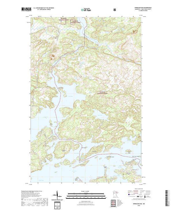
2022 Map of Vermilion Dam
USGS Topo · Published 2022About this map
Superior National Forest defines the northwoods character of this landscape, where the sprawling waters of Vermilion Lake meet a complex network of islands and channels. The area is marked by significant geographic features like Oak Island and Hinsdale Island, which break up the open reaches of Frazer Bay and Wolf Bay. The northern portion of the map follows the winding course of the Vermilion River, a historic waterway connected by specialized paths such as the Shively Falls Trl and the Vermilion River Trl.
Find a feature on this map
64 named features on this map. Tap any name to fly to it.
Don’t see what you’re looking for? This feature index may not catch every label — zoom into the map to look around manually.
Map Details
Editions of this 2022 Vermilion Dam Map
This is the sole edition of this map. No revisions or reprints were ever made.
Other maps of this area

1954 · Hibbing
USGS Topo · 1:250,000

1954 · International Falls
USGS Topo · 1:250,000

1956 · Sioux Pine Island
USGS Topo · 1:24,000

1956 · Tower
USGS Topo · 1:24,000

1956 · Vermilion Dam
USGS Topo · 1:24,000

1956 · Lost Lake
USGS Topo · 1:24,000

1957 · Hibbing
USGS Topo · 1:250,000

1957 · International Falls
USGS Topo · 1:250,000

1958 · International Falls
USGS Topo · 1:250,000

1958 · Hibbing
USGS Topo · 1:250,000