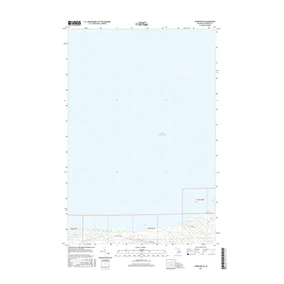
2017 Map of Vermilion SE
USGS Topo · Published 2017About this map
Lake Superior dominates the northern landscape of this coastal survey, where the shoreline meets a complex network of wetlands and small inland water bodies in Whitefish Township. The southern half of the map reveals a low-lying environment characterized by Cranberry Bogs and the cluster of Marsh Lakes, indicating a historically boggy terrain that likely influenced early logging or agricultural efforts in the Upper Peninsula. Small, isolated lakes like Weatherhogs Lake and Little Lake are tucked away from the main shoreline, connected by a sparse network of local tracks including W Wild Cat Rd, N Doe Lake Rd, and N Moose Rd. This 2017 data reflects the modern township boundaries of T50N R6W and T50N R7W, showing how the lakefront remains largely undeveloped compared to more populated stretches of the Michigan coast.
Find a feature on this map
11 named features on this map. Tap any name to fly to it.
Don’t see what you’re looking for? This feature index may not catch every label — zoom into the map to look around manually.
Map Details
Editions of this 2017 Vermilion SE Map
This is the sole edition of this map. No revisions or reprints were ever made.
Other maps of this area

1951 · Vermilion SE
USGS Topo · 1:24,000

1951 · Shelldrake
USGS Topo · 1:24,000

1951 · Vermilion
USGS Topo · 1:24,000

1951 · Sheephead Lake
USGS Topo · 1:24,000

1951 · Whitefish Point
USGS Topo · 1:24,000

1951 · Shelldrake
USGS Topo · 1:62,500

1954 · Sault Sainte Marie
USGS Topo · 1:250,000

1956 · Sault Sainte Marie
USGS Topo · 1:250,000

1957 · Sault Sainte Marie
USGS Topo · 1:250,000

1958 · Sault Sainte Marie
USGS Topo · 1:250,000