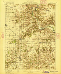
1947 Map of Vermont
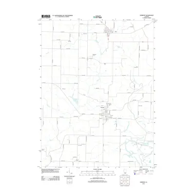
USGS Topo · Published 1979About this map
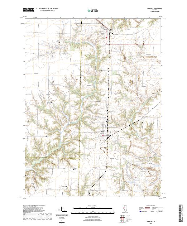
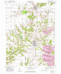
The village of Vermont and the community of Table Grove anchor this western Illinois landscape, which transitioned significantly during and after World War II. Large portions of the northeastern terrain are dominated by the Camp Ellis Military Reservation, a site that served as a major Army training center and prisoner-of-war camp. The topographic details reflect a rural economy shifting toward industrial excavation, most notably evidenced by the large Strip Mine located along the Burlington Northern railroad corridor east of town.
Find a feature on this map
25 named features on this map. Tap any name to fly to it.
Don’t see what you’re looking for? This feature index may not catch every label — zoom into the map to look around manually.
Map Details
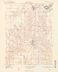
Editions of this 1947 Vermont Map
This is the sole edition of this map. No revisions or reprints were ever made.
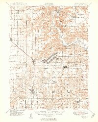
Historical Maps of Vermont Through Time
10 maps found