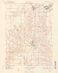
1948 Map of Vermont
USGS Topo · Published 1948About this map
The Camp Ellis Military Reservation dominates the northeastern corner of this 1947 survey, representing a significant period of military land use in Fulton County just after World War II. The landscape is defined by the incision of Sugar Creek and Otter Creek, which carve through the townships of Vermont, El Dorado, and Oakland. Between these drainages, a dense network of one-room schoolhouses and small family cemeteries illustrates the rural social structure of the late 1940s.
Find a feature on this map
32 named features on this map. Tap any name to fly to it.
Don’t see what you’re looking for? This feature index may not catch every label — zoom into the map to look around manually.
Map Details
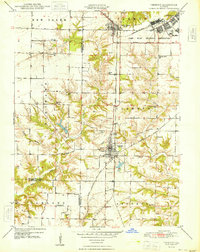
Editions of this 1948 Vermont Map
2 editions found
Other maps of this area

1912 · Macomb
USGS Topo · 1:62,500

1914 · Macomb
USGS Topo · 1:62,500

1918 · Vermont
USGS Topo · 1:62,500

1921 · Vermont
USGS Topo · 1:62,500

1923 · Rushville
USGS Topo · 1:62,500

1926 · Beardstown
USGS Topo · 1:62,500

1926 · Rushville
USGS Topo · 1:62,500

1944 · Beardstown
USGS Topo · 1:62,500

1947 · Vermont
USGS Topo · 1:24,000

1947 · Adair
USGS Topo · 1:24,000