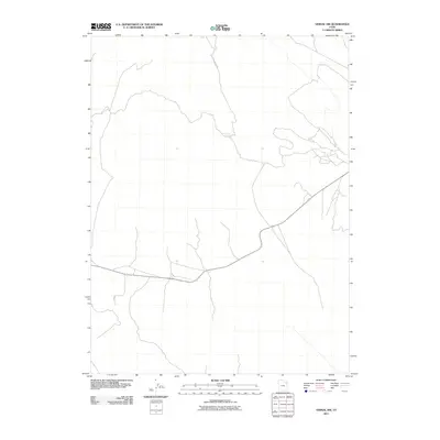
2011 Map of Vernal NW
USGS Topo · Published 2011About this map
Cottonwood Spring serves as a lone named water source in this high-elevation landscape of northwestern Uintah County. The terrain is defined by its relative openness and the gradual transition of topography typical of the Uinta Basin's northern reaches. Grounded in data from the Little Mountain Rd corridor, the map illustrates a sparsely populated region where infrastructure is limited to essential access routes through the arid terrain. The lack of dense settlement or named landmarks highlights the area's rural character and its importance for open-range land management or resource exploration in the early 21st century.
Find a feature on this map
2 named features on this map. Tap any name to fly to it.
Don’t see what you’re looking for? This feature index may not catch every label — zoom into the map to look around manually.
Map Details
Editions of this 2011 Vernal NW Map
This is the sole edition of this map. No revisions or reprints were ever made.
Other maps of this area

1885 · Ashley
USGS Topo · 1:250,000

1906 · Marsh Peak
USGS Topo · 1:125,000

1908 · Marsh Peak
USGS Topo · 1:125,000

1917 · Vernal
USGS Topo · 1:125,000

1954 · Vernal
USGS Topo · 1:250,000

1958 · Vernal
USGS Topo · 1:250,000

1960 · Vernal
USGS Topo · 1:250,000

1964 · Vernal NE
USGS Topo · 1:24,000
1964 · Fort Duchesne
USGS Topo · 1:24,000

1964 · Lapoint
USGS Topo · 1:24,000