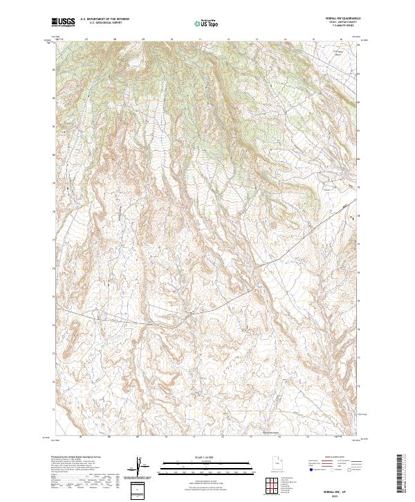
2023 Map of Vernal NW
USGS Topo · Published 2023About this map
Asphalt Ridge dominates the southeastern quadrant of this terrain, marking a significant geological feature in the Uintah Basin. The landscape is defined by the drainage patterns of Twelvemile Wash and the presence of Cottonwood Spring, indicating the vital role of scarce water sources in this arid Utah environment. Northward, the elevation rises toward Coal Mine Basin, a name that hints at the industrial history of resource extraction in the region. The map details a complex network of local routes, such as 012107, that navigate the undulating topography between Halfway Hollow and the surrounding heights. This 2023 survey provides a clear look at the contemporary infrastructure and natural landforms that continue to shape Uintah County, from the high basins to the lower desert washes.
Find a feature on this map
15 named features on this map. Tap any name to fly to it.
Don’t see what you’re looking for? This feature index may not catch every label — zoom into the map to look around manually.
Map Details
Editions of this 2023 Vernal NW Map
This is the sole edition of this map. No revisions or reprints were ever made.
Other maps of this area

1885 · Ashley
USGS Topo · 1:250,000

1906 · Marsh Peak
USGS Topo · 1:125,000

1908 · Marsh Peak
USGS Topo · 1:125,000

1917 · Vernal
USGS Topo · 1:125,000

1954 · Vernal
USGS Topo · 1:250,000

1958 · Vernal
USGS Topo · 1:250,000

1960 · Vernal
USGS Topo · 1:250,000

1964 · Vernal NE
USGS Topo · 1:24,000
1964 · Fort Duchesne
USGS Topo · 1:24,000

1964 · Lapoint
USGS Topo · 1:24,000