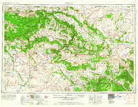
1960 Map of Vernal
USGS Topo · Published 1960About this map
The high deserts and mountain ranges of northeastern Utah and northwestern Colorado converge here, defined by the winding course of the Green River and its confluence with the Yampa River. Vernal serves as the regional hub, surrounded by smaller agricultural and mining settlements like Maeser, Jensen, and Gusher. The landscape is a complex arrangement of federal and tribal lands, including the vast Ashley National Forest and Dinosaur National Monument, which protects the dramatic canyons of the Split Mountain area.
Find a feature on this map
79 named features on this map. Tap any name to fly to it.
Don’t see what you’re looking for? This feature index may not catch every label — zoom into the map to look around manually.
Map Details
Editions of this 1960 Vernal Map
This is the sole edition of this map. No revisions or reprints were ever made.
Other maps of this area
1885 · East Tavaputs
USGS Topo · 1:250,000
1885 · Ashley
USGS Topo · 1:250,000
1885 · Uinta
USGS Topo · 1:250,000
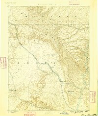
1886 · Price River
USGS Topo · 1:250,000
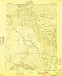
1896 · Price River
USGS Topo · 1:250,000
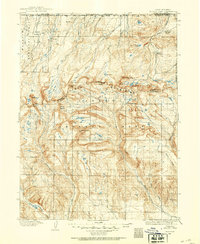
1905 · Gilbert Peak
USGS Topo · 1:125,000
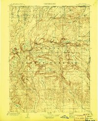
1906 · Gilbert Peak
USGS Topo · 1:125,000
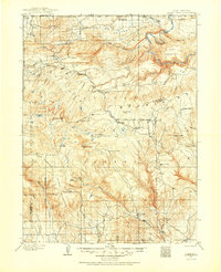
1906 · Marsh Peak
USGS Topo · 1:125,000
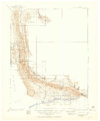
1906 · Grand Hogback
USGS Topo · 1:125,000
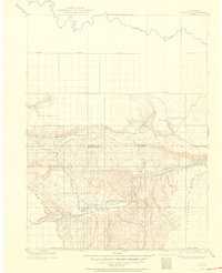
1907 · Rangely
USGS Topo · 1:125,000