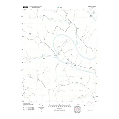
2010 Map of Vernon
USGS Topo · Published 2010About this map
McMillans Ferry provides a crossing point over the Cumberland River as it snakes through Monroe County in this 2010 topographic representation. The landscape is defined by its dramatic river bends, such as Turkey Neck Bend and Salt Lick Bend, where small rural communities like Coe and Blythe are situated. Family-named hollows and ridges, including Johnson Hollow and Pruitt Ridge, characterize the drainage patterns of several tributaries like Meshack Creek and Sulphur Creek.
Find a feature on this map
60 named features on this map. Tap any name to fly to it.
Don’t see what you’re looking for? This feature index may not catch every label — zoom into the map to look around manually.
Map Details
Editions of this 2010 Vernon Map
This is the sole edition of this map. No revisions or reprints were ever made.
Other maps of this area

1924 · Lillydale
USGS Topo · 1:62,500

1926 · Lillydale
USGS Topo · 1:62,500

1929 · Lillydale
USGS Topo · 1:62,500

1929 · Tompkinsville
USGS Topo · 1:62,500

1953 · Sulphur Lick
USGS Topo · 1:24,000

1953 · Waterview
USGS Topo · 1:24,000

1953 · Dubre
USGS Topo · 1:24,000

1954 · Blacks Ferry
USGS Topo · 1:24,000

1954 · Tompkinsville
USGS Topo · 1:24,000
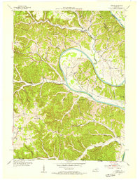
1954 · Vernon
USGS Topo · 1:24,000