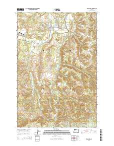
2014 Map of Vernonia
USGS Topo · Published 2014About this map
Vernonia serves as the focal point of this Northwest Oregon landscape, situated where the Nehalem River meets Rock Creek. The town's grid is well-defined by streets such as Bridge St and Nehalem St, while the outskirts are marked by the Pioneer Cem and Vernonia Cem. A distinctive network of timber-related infrastructure is evident through the numerous "Mainline" labels, such as the Pebble Creek Mainline and Coal Creek Mainline, which trace the historical logging transport routes through the surrounding hills. To the southwest, the small settlement of Treharne sits along the river, while the Vernonia Municipal Airport occupies the flat land near Bear Cr. The map captures a transition from the structured residential blocks of the river valley to the complex creek systems of Pebble Cr and W Fork Dairy Cr as they move toward the Washington County line.
Find a feature on this map
74 named features on this map. Tap any name to fly to it.
Don’t see what you’re looking for? This feature index may not catch every label — zoom into the map to look around manually.
Map Details
Editions of this 2014 Vernonia Map
This is the sole edition of this map. No revisions or reprints were ever made.
Other maps of this area

1940 · Vernonia
USGS Topo · 1:62,500

1941 · Keasey
USGS Topo · 1:62,500

1941 · Timber
USGS Topo · 1:62,500

1941 · Gales Creek
USGS Topo · 1:62,500

1943 · Vernonia
USGS Topo · 1:62,500

1943 · Keasey
USGS Topo · 1:62,500

1948 · Vancouver
USGS Topo · 1:250,000

1950 · Vancouver
USGS Topo · 1:250,000

1950 · Vancouver
USGS Topo · 1:250,000

1955 · Timber
USGS Topo · 1:62,500