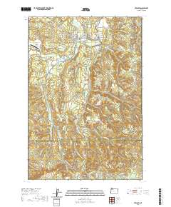
2020 Map of Vernonia
USGS Topo · Published 2020About this map
Vernonia serves as the central hub of this northern Oregon landscape, where the Nehalem River meets Rock Creek and Bear Cr. The town’s historical footprint is anchored by the Vernonia Cem and Pioneer Cem, while the Banks-Vernonia State Trail traces a corridor of former rail activity south through Treharne. This modern survey illustrates a transition from the river valley floor to the prominent heights of Corey Hill and O-A Hill north of the town center.
Find a feature on this map
77 named features on this map. Tap any name to fly to it.
Don’t see what you’re looking for? This feature index may not catch every label — zoom into the map to look around manually.
Map Details
Editions of this 2020 Vernonia Map
This is the sole edition of this map. No revisions or reprints were ever made.
Other maps of this area

1940 · Vernonia
USGS Topo · 1:62,500

1941 · Keasey
USGS Topo · 1:62,500

1941 · Timber
USGS Topo · 1:62,500

1941 · Gales Creek
USGS Topo · 1:62,500

1943 · Vernonia
USGS Topo · 1:62,500

1943 · Keasey
USGS Topo · 1:62,500

1948 · Vancouver
USGS Topo · 1:250,000

1950 · Vancouver
USGS Topo · 1:250,000

1950 · Vancouver
USGS Topo · 1:250,000

1955 · Timber
USGS Topo · 1:62,500