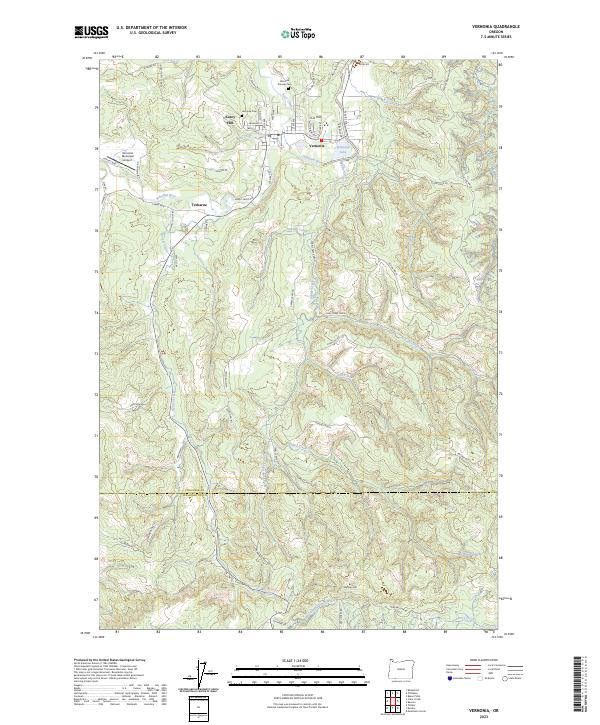
2023 Map of Vernonia
USGS Topo · Published 2023About this map
Vernonia serves as the focal point of this region where the Nehalem River meanders through the foothills of the Coast Range. The settlement pattern reflects a history of timber and transport, with the river joined by several significant tributaries such as Beaver Creek and Pebble Creek. To the west, the settlement of Treharne sits along the river's bend, while the upland terrain is marked by prominent rises including Corey Hill, O-A Hill, and Hoffman Hill. Local heritage is preserved at the Vernonia Pioneer Cem and the Vernonia Cem, situated near the confluence of Bear Creek and Rock Creek. The modern landscape incorporates the Vernonia Municipal Airport and Vernonia Lake, illustrating how the town has adapted its land use around the winding waterways that once drove the local logging economy.
Find a feature on this map
77 named features on this map. Tap any name to fly to it.
Don’t see what you’re looking for? This feature index may not catch every label — zoom into the map to look around manually.
Map Details
Editions of this 2023 Vernonia Map
This is the sole edition of this map. No revisions or reprints were ever made.
Other maps of this area

1940 · Vernonia
USGS Topo · 1:62,500

1941 · Keasey
USGS Topo · 1:62,500

1941 · Timber
USGS Topo · 1:62,500

1941 · Gales Creek
USGS Topo · 1:62,500

1943 · Vernonia
USGS Topo · 1:62,500

1943 · Keasey
USGS Topo · 1:62,500

1948 · Vancouver
USGS Topo · 1:250,000

1950 · Vancouver
USGS Topo · 1:250,000

1950 · Vancouver
USGS Topo · 1:250,000

1955 · Timber
USGS Topo · 1:62,500