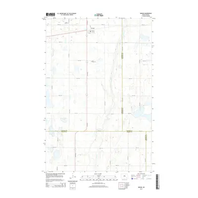
2014 Map of Verona
USGS Topo · Published 2014About this map
The small village of Verona serves as the central hub for this portion of the southeastern North Dakota prairie. Situated at the junction of several local roads including CR-33, the settlement is surrounded by a landscape defined by the winding course of Bear Creek. The map documents a rural environment where land use is divided by strict section lines, typical of the regional township and range system. Local genealogy and community history are anchored by the presence of Pilgrims Rest Cem to the northwest and Saint Raphael Cem located just south of the main town site. This 2014 survey also highlights the convergence of four county lines—LaMoure, Ransom, Dickey, and Sargent—in the southern and eastern quadrants, illustrating the complex administrative geography of the area.
Find a feature on this map
24 named features on this map. Tap any name to fly to it.
Don’t see what you’re looking for? This feature index may not catch every label — zoom into the map to look around manually.
Map Details
Editions of this 2014 Verona Map
This is the sole edition of this map. No revisions or reprints were ever made.
Other maps of this area

1894 · Oakes
USGS Topo · 1:62,500

1895 · Lamoure
USGS Topo · 1:125,000

1918 · La Moure
USGS Topo · 1:125,000

1952 · Glover
USGS Topo · 1:24,000

1952 · Oakes
USGS Topo · 1:24,000

1952 · Crete
USGS Topo · 1:24,000

1952 · Independence
USGS Topo · 1:24,000

1953 · Jamestown
USGS Topo · 1:250,000

1953 · Fargo
USGS Topo · 1:250,000

1956 · Fargo
USGS Topo · 1:250,000