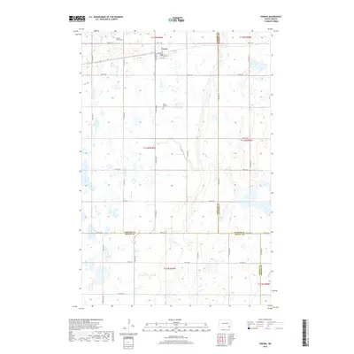
2018 Map of Verona
USGS Topo · Published 2018About this map
Verona serves as the primary settlement in this corner of North Dakota, situated at the junction of 112th Ave SE and 1st Ave. The landscape is defined by the winding course of Bear Cr, which traverses the eastern half of the map, carving through the prairie topography. This 2018 survey illustrates the persistent grid of section lines and gravel roads that organize the rural space, typical of the James River Valley region.
Find a feature on this map
32 named features on this map. Tap any name to fly to it.
Don’t see what you’re looking for? This feature index may not catch every label — zoom into the map to look around manually.
Map Details
Editions of this 2018 Verona Map
This is the sole edition of this map. No revisions or reprints were ever made.
Other maps of this area

1894 · Oakes
USGS Topo · 1:62,500

1895 · Lamoure
USGS Topo · 1:125,000

1918 · La Moure
USGS Topo · 1:125,000

1952 · Glover
USGS Topo · 1:24,000

1952 · Oakes
USGS Topo · 1:24,000

1952 · Crete
USGS Topo · 1:24,000

1952 · Independence
USGS Topo · 1:24,000

1953 · Jamestown
USGS Topo · 1:250,000

1953 · Fargo
USGS Topo · 1:250,000

1956 · Fargo
USGS Topo · 1:250,000