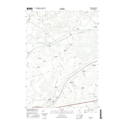
2016 Map of Verona
USGS Topo · Published 2016About this map
The Erie Canal cuts through the northern half of this Oneida County landscape, serving as a primary corridor through Stacy Basin, New London, and Verona Mills. This central transit artery is paralleled by the N Country National Scenic Trail, illustrating the evolution of the canal corridor from industrial waterway to recreational resource. To the north, the Rome Sand Plains and Teelins Pond define a distinct ecological area near the Rome city line.
Find a feature on this map
103 named features on this map. Tap any name to fly to it.
Don’t see what you’re looking for? This feature index may not catch every label — zoom into the map to look around manually.
Map Details
Editions of this 2016 Verona Map
This is the sole edition of this map. No revisions or reprints were ever made.
Other maps of this area

1895 · Oriskany
USGS Topo · 1:62,500

1895 · Oneida
USGS Topo · 1:62,500

1898 · Oneida
USGS Topo · 1:62,500

1898 · Oriskany
USGS Topo · 1:62,500

1902 · Oneida
USGS Topo · 1:62,500

1904 · Boonville
USGS Topo · 1:62,500

1905 · Taberg
USGS Topo · 1:62,500

1939 · Oneida
USGS Topo · 1:62,500

1943 · Camden East
USGS Topo · 1:31,680

1943 · Lee Center
USGS Topo · 1:31,680