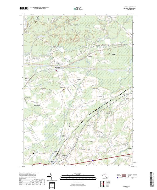
2023 Map of Verona
USGS Topo · Published 2023About this map
The Erie Canal cuts a historic path through this landscape, serving as a primary corridor that links many of the region's early hamlets. To the south, the settlement of Verona is flanked by local landmarks such as Dams Corner and Cagwin Corners, while the west is characterized by the lowlands of Verona Swamp. The drainage of Stony Creek and Wood Creek defines much of the area's geography, winding through a patchwork of named crossroads and small villages.
Find a feature on this map
108 named features on this map. Tap any name to fly to it.
Don’t see what you’re looking for? This feature index may not catch every label — zoom into the map to look around manually.
Map Details
Editions of this 2023 Verona Map
This is the sole edition of this map. No revisions or reprints were ever made.
Other maps of this area

1895 · Oriskany
USGS Topo · 1:62,500

1895 · Oneida
USGS Topo · 1:62,500

1898 · Oneida
USGS Topo · 1:62,500

1898 · Oriskany
USGS Topo · 1:62,500

1902 · Oneida
USGS Topo · 1:62,500

1904 · Boonville
USGS Topo · 1:62,500

1905 · Taberg
USGS Topo · 1:62,500

1939 · Oneida
USGS Topo · 1:62,500

1943 · Camden East
USGS Topo · 1:31,680

1943 · Lee Center
USGS Topo · 1:31,680