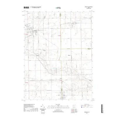
2019 Map of Versailles
USGS Topo · Published 2019About this map
The Stillwater River cuts a winding path through this western Ohio landscape, connecting the agricultural communities of Versailles, Bradford, and Russia. This 2019 survey documents a region defined by its rural heritage and early 21st-century settlement patterns, where county lines separate Darke, Miami, and Shelby counties. The map is particularly dense with historical burial grounds, ranging from large sites like Greenlawn Cem in Versailles to smaller, family-named landmarks such as Hoover Cem and Munk Cem.
Find a feature on this map
105 named features on this map. Tap any name to fly to it.
Don’t see what you’re looking for? This feature index may not catch every label — zoom into the map to look around manually.
Map Details
Editions of this 2019 Versailles Map
This is the sole edition of this map. No revisions or reprints were ever made.
Other maps of this area

1908 · St. Henry
USGS Topo · 1:62,500

1909 · Loramie
USGS Topo · 1:62,500

1911 · Loramie
USGS Topo · 1:62,500

1911 · Covington
USGS Topo · 1:62,500

1944 · Covington
USGS Topo · 1:62,500

1944 · Loramie
USGS Topo · 1:62,500

1953 · Muncie
USGS Topo · 1:250,000

1956 · Muncie
USGS Topo · 1:250,000

1961 · Dawn
USGS Topo · 1:24,000
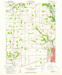
1961 · Piqua West
USGS Topo · 1:24,000