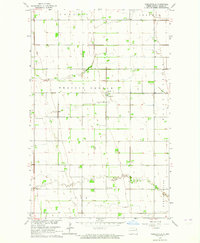
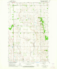
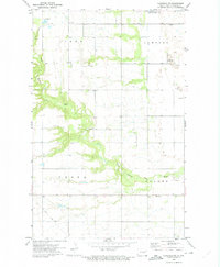
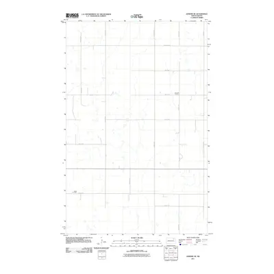
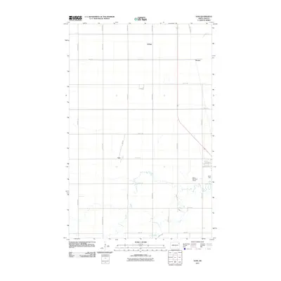
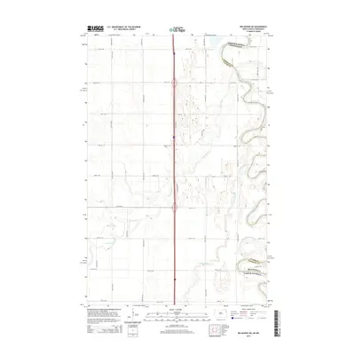
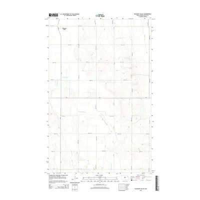
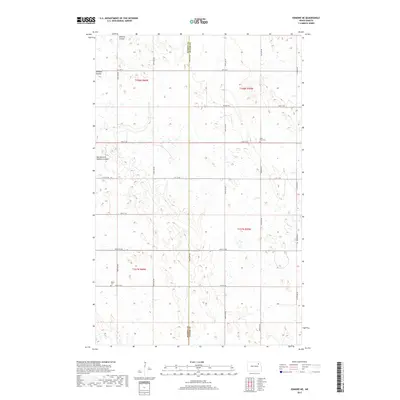
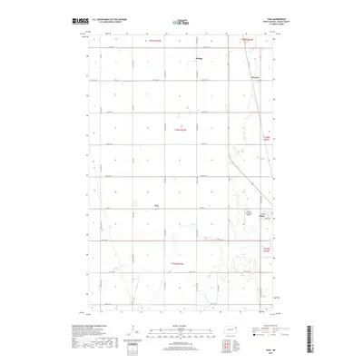
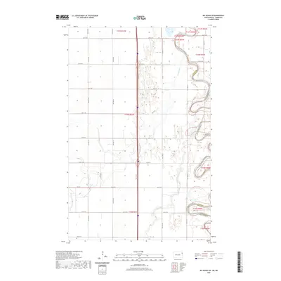
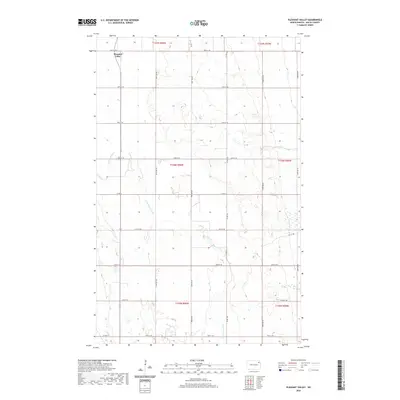
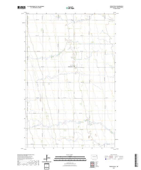
1963 Map of Veseleyville
USGS Topo · Published 1964About this map
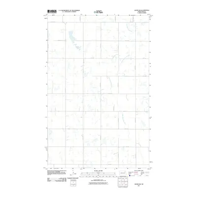
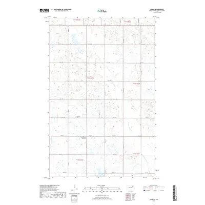
The small settlement of Veseleyville serves as the focal point for this rural landscape in Walsh County, appearing as it did during the early 1960s. The community is anchored by St Lukes Cem, with the surrounding area divided into the townships of Prairie Center, Fertile, and Grafton. This survey, conducted as part of the Missouri River Basin development program, illustrates a deeply agricultural region defined by a precise section-line road grid and scattered local education centers.
Find a feature on this map
11 named features on this map. Tap any name to fly to it.
Don’t see what you’re looking for? This feature index may not catch every label — zoom into the map to look around manually.
Map Details
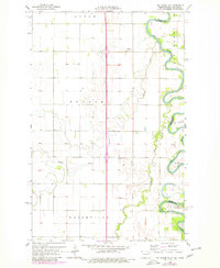
Editions of this 1963 Veseleyville Map
This is the sole edition of this map. No revisions or reprints were ever made.
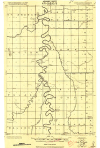
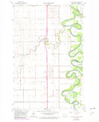
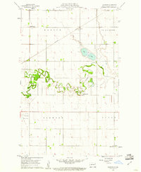
Historical Maps of Veseleyville Through Time
61 maps found
1918 Acton
Walsh County, ND
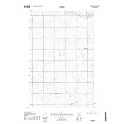
1960 Big Woods NW
Walsh County, ND
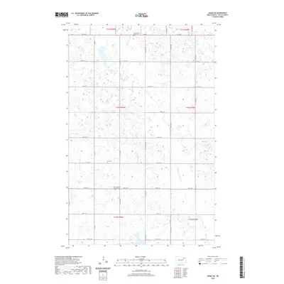
1960 Oakwood
Walsh County, ND
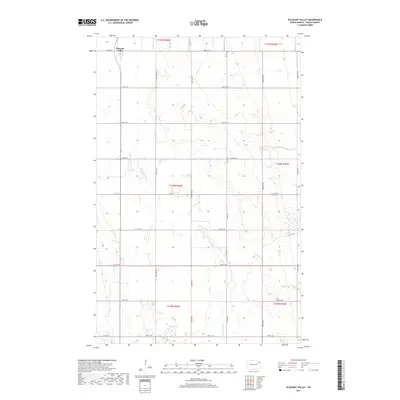
1963 Pleasant Valley
Walsh County, ND
1963 Veseleyville
Walsh County, ND
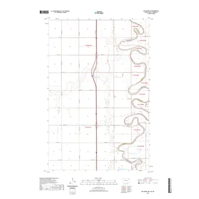
1966 Big Woods SW
Walsh County, ND
1972 Adams SE
Walsh County, ND
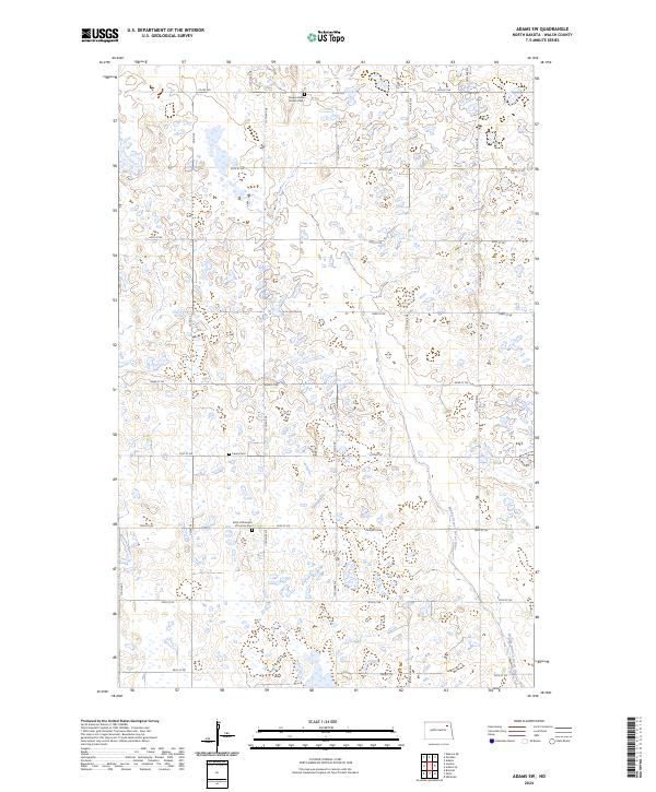
1972 Adams SW
Walsh County, ND
1972 Edinburg NW
Walsh County, ND
1972 Edmore NE
Walsh County, ND
1972 Voss
Walsh County, ND
2011 Adams SE
Walsh County, ND
2011 Adams SW
Walsh County, ND
2011 Big Woods NW
Walsh County, ND
2011 Big Woods SW
Walsh County, ND
2011 Edinburg NW
Walsh County, ND
2011 Edmore NE
Walsh County, ND
2011 Oakwood
Walsh County, ND
2011 Pleasant Valley
Walsh County, ND
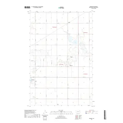
2011 Veseleyville
Walsh County, ND
2011 Voss
Walsh County, ND
2014 Adams SE
Walsh County, ND
2014 Adams SW
Walsh County, ND
2014 Big Woods NW
Walsh County, ND
2014 Big Woods SW
Walsh County, ND
2014 Edinburg NW
Walsh County, ND
2014 Edmore NE
Walsh County, ND
2014 Oakwood
Walsh County, ND
2014 Pleasant Valley
Walsh County, ND
2014 Veseleyville
Walsh County, ND
2014 Voss
Walsh County, ND
2017 Adams SE
Walsh County, ND
2017 Adams SW
Walsh County, ND
2017 Big Woods NW
Walsh County, ND
2017 Big Woods SW
Walsh County, ND
2017 Edinburg NW
Walsh County, ND
2017 Edmore NE
Walsh County, ND
2017 Oakwood
Walsh County, ND
2017 Pleasant Valley
Walsh County, ND
2017 Veseleyville
Walsh County, ND
2017 Voss
Walsh County, ND
2020 Adams SE
Walsh County, ND
2020 Adams SW
Walsh County, ND
2020 Big Woods NW
Walsh County, ND
2020 Big Woods SW
Walsh County, ND
2020 Edinburg NW
Walsh County, ND
2020 Edmore NE
Walsh County, ND
2020 Oakwood
Walsh County, ND
2020 Pleasant Valley
Walsh County, ND
2020 Veseleyville
Walsh County, ND
2020 Voss
Walsh County, ND
2024 Adams SE
Walsh County, ND
2024 Adams SW
Walsh County, ND
2024 Big Woods NW
Walsh County, ND
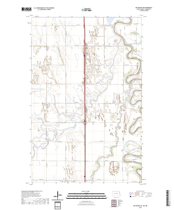
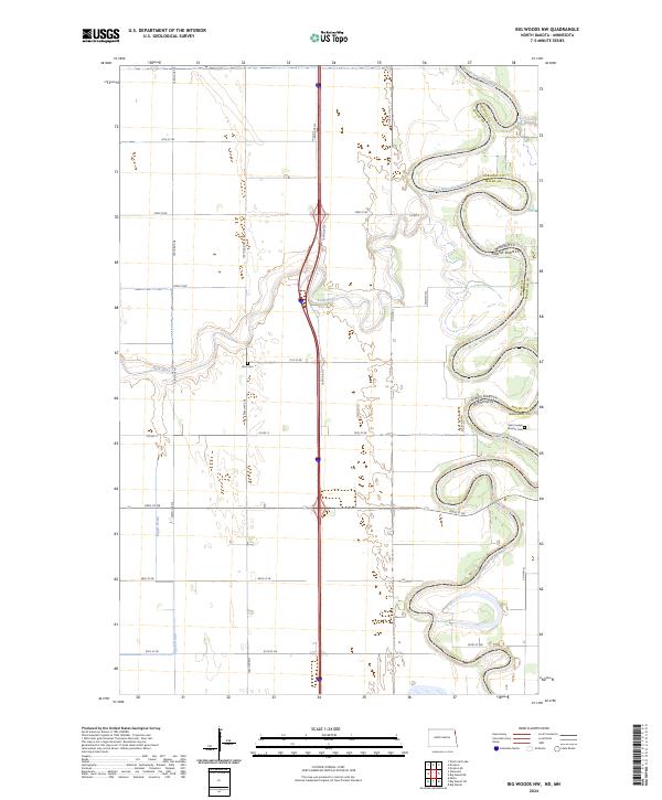
2024 Big Woods SW
Walsh County, ND
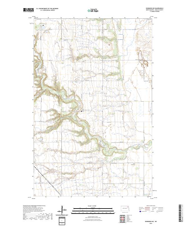
2024 Edinburg NW
Walsh County, ND
2024 Edmore NE
Walsh County, ND
2024 Oakwood
Walsh County, ND
2024 Pleasant Valley
Walsh County, ND
2024 Veseleyville
Walsh County, ND
2024 Voss
Walsh County, ND