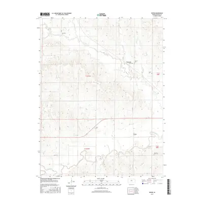
2015 Map of Vesper
USGS Topo · Published 2015About this map
Denmark and Vesper anchor this agricultural landscape in Lincoln County, defined by the winding course of the Saline River and its numerous tributaries. The map reveals a deeply rooted rural community, evidenced by the high concentration of burial grounds including the Pottersburg Cem, Denmark Cem, and Mission Cem distributed across the townships. The terrain is dissected by Spillman Cr, Bacon Cr, and Trail Cr, which feed into the primary river valley to the south. Transportation is marked by a grid of section-line roads such as 115th Rd and N 120th Rd, alongside the path of Old Hwy 18. This survey reflects the enduring settlement patterns of the Kansas plains, where small town centers and family-named landmarks like Little Timber Cr remain central to the local geography.
Find a feature on this map
21 named features on this map. Tap any name to fly to it.
Don’t see what you’re looking for? This feature index may not catch every label — zoom into the map to look around manually.
Map Details
Editions of this 2015 Vesper Map
This is the sole edition of this map. No revisions or reprints were ever made.
Other maps of this area

1894 · Ellsworth
USGS Topo · 1:125,000

1894 · Beloit
USGS Topo · 1:125,000

1955 · Great Bend
USGS Topo · 1:250,000

1955 · Beloit
USGS Topo · 1:250,000

1957 · Great Bend
USGS Topo · 1:250,000

1958 · Great Bend
USGS Topo · 1:250,000

1959 · Beloit
USGS Topo · 1:250,000

1962 · Vesper
USGS Topo · 1:24,000

1962 · Lincoln
USGS Topo · 1:24,000

1963 · Sylvan Grove
USGS Topo · 1:24,000