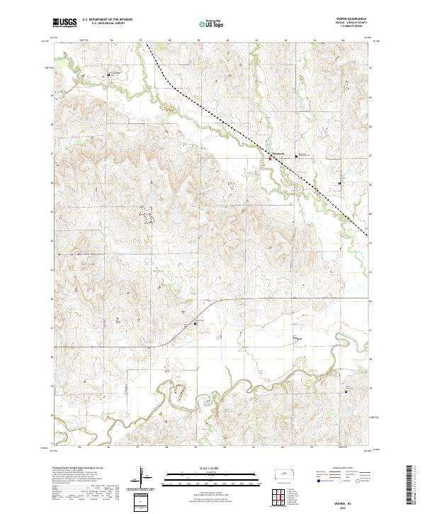
2022 Map of Vesper
USGS Topo · Published 2022About this map
The Saline River flows through the southern portion of this landscape, anchoring a rural Kansas terrain defined by its watercourses and small settlements. In the north, the village of Denmark is a focal point for the surrounding agricultural community, while Vesper sits further south near the river. This region of Lincoln County is notably concentrated with community burial grounds, reflecting the deep-rooted family histories of the area. From the Pottersburg Cem in the northwest to the Saint John Cem in the southeast, these sites, including the Denmark Lutheran Cem and Free Mission Cem, provide a dense record of early settlement patterns. The map also traces the winding paths of Spillman Cr and Little Timber Cr, which feed the Saline valley and dictated the placement of roads like Old Hwy 18.
Find a feature on this map
22 named features on this map. Tap any name to fly to it.
Don’t see what you’re looking for? This feature index may not catch every label — zoom into the map to look around manually.
Map Details
Editions of this 2022 Vesper Map
This is the sole edition of this map. No revisions or reprints were ever made.
Other maps of this area

1894 · Ellsworth
USGS Topo · 1:125,000

1894 · Beloit
USGS Topo · 1:125,000

1955 · Great Bend
USGS Topo · 1:250,000

1955 · Beloit
USGS Topo · 1:250,000

1957 · Great Bend
USGS Topo · 1:250,000

1958 · Great Bend
USGS Topo · 1:250,000

1959 · Beloit
USGS Topo · 1:250,000

1962 · Vesper
USGS Topo · 1:24,000

1962 · Lincoln
USGS Topo · 1:24,000

1963 · Sylvan Grove
USGS Topo · 1:24,000