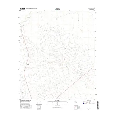
2016 Map of Vesrue
USGS Topo · Published 2016About this map
Magwalt serves as a central point of reference in this West Texas landscape, where the flat terrain is defined by a dense grid of service roads and industrial access paths. This 2016 survey shows how human activity has partitioned the plains, with a complex network of routes like N Fm 1218 and N Fm 874 cutting across the arid territory. The natural drainage of Monument Draw provides one of the few breaks in the systematic rectilinear layout of the land, illustrating the subtle topography that dictates drainage in this portion of Winkler County.
Find a feature on this map
8 named features on this map. Tap any name to fly to it.
Don’t see what you’re looking for? This feature index may not catch every label — zoom into the map to look around manually.
Map Details
Editions of this 2016 Vesrue Map
This is the sole edition of this map. No revisions or reprints were ever made.
Other maps of this area

1954 · Hobbs
USGS Topo · 1:250,000

1954 · Pecos
USGS Topo · 1:250,000

1957 · Pecos
USGS Topo · 1:250,000

1958 · Hobbs
USGS Topo · 1:250,000

1969 · Jal
USGS Topo · 1:24,000

1969 · Jal SE
USGS Topo · 1:24,000

1970 · Wink North
USGS Topo · 1:24,000

1970 · Vesrue
USGS Topo · 1:24,000

1970 · Kermit NW
USGS Topo · 1:24,000

1970 · Kermit
USGS Topo · 1:24,000