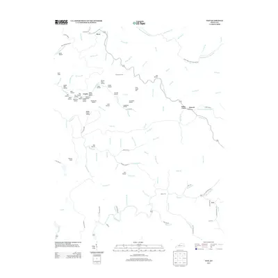
2013 Map of Vest
USGS Topo · Published 2013About this map
Decoy and Vest anchor this topographic study of the Knott County highlands, where the landscape is defined by an intricate network of narrow hollows and winding creek branches. The drainage pattern of Quicksand Cr and Balls Fork dictates the placement of early settlements and family homesteads. Small rural communities like Elmrock, Grigsby, and Baker Camp are positioned along these valley floors, connected by historic routes such as Buckhorn Creek Rd and Laurel Fork Rd. Genealogists will find significant value in the mapped family cemeteries, including Whitt Howard Cem, Bradey Cem, and Compton Cem. The terrain nomenclature reveals local history through distinctive labels like Schoolhouse Br, Medicine Hollow, and Grey Horse Hill, reflecting the traditional naming conventions of this pocket of the Cumberland Plateau.
Find a feature on this map
112 named features on this map. Tap any name to fly to it.
Don’t see what you’re looking for? This feature index may not catch every label — zoom into the map to look around manually.
Map Details
Editions of this 2013 Vest Map
This is the sole edition of this map. No revisions or reprints were ever made.
Other maps of this area

1886 · Prestonsburg
USGS Topo · 1:125,000

1889 · Salyersville
USGS Topo · 1:125,000

1890 · Whitesburg
USGS Topo · 1:125,000

1891 · Hazard
USGS Topo · 1:125,000

1891 · Salyersville
USGS Topo · 1:125,000

1892 · Whitesburg
USGS Topo · 1:125,000

1892 · Prestonsburg
USGS Topo · 1:125,000

1899 · Salyersville
USGS Topo · 1:125,000

1912 · Hindman
USGS Topo · 1:48,000

1914 · Troublesome
USGS Topo · 1:62,500