2021 Map of Viborg
USGS Topo · Published 2021About this map
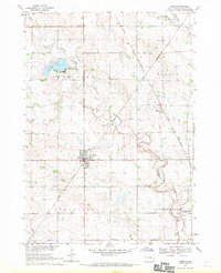
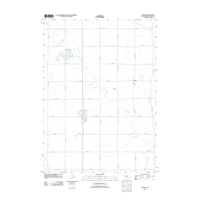
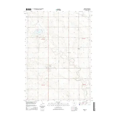
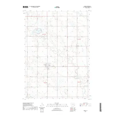
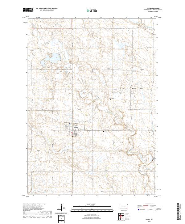
Viborg serves as the primary hub of this eastern South Dakota landscape, where the grid of sections and county roads meets a rolling prairie shaped by agricultural drainages. Located in southern Turner County, the town is oriented along W Lincoln Ave and N Washington ST, surrounded by essential community landmarks including Rose Hill Cem and Baptist Cem. The terrain is defined by the winding course of Turkey Ridge Cr and the presence of Swan Lake to the northwest. To the east, the rural settlement of Hooker sits near the headwaters of Mears Ditch, while the Vermillion River clips the northeastern corner of the quadrangle. This 2021 survey illustrates a mature agricultural network where family-named landmarks like Hattervig Cem and Grace Lutheran Cem anchor the social history of the countryside.
Find a feature on this map
37 named features on this map. Tap any name to fly to it.
Don’t see what you’re looking for? This feature index may not catch every label — zoom into the map to look around manually.
Map Details
Editions of this 2021 Viborg Map
This is the sole edition of this map. No revisions or reprints were ever made.
Historical Maps of Viborg Through Time
5 maps found