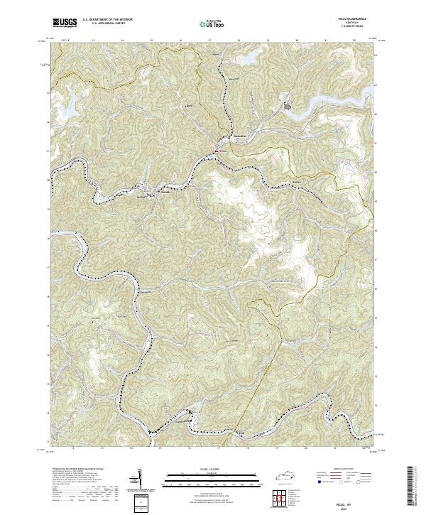
2022 Map of Vicco
USGS Topo · Published 2022About this map
The North Fork Kentucky River snakes through the southern reaches of this Appalachian landscape, where steep hollows and ridges define the settlement patterns of Perry, Knott, and Letcher counties. In the heart of the coalfields, towns like Vicco and Sassafras occupy the narrow valley floors along Carr Fork, while smaller settlements such as Defiance, Happy, and Scuddy are tucked into the drainages of Scuddy Br and Hurricane Br.
Find a feature on this map
86 named features on this map. Tap any name to fly to it.
Don’t see what you’re looking for? This feature index may not catch every label — zoom into the map to look around manually.
Map Details
Editions of this 2022 Vicco Map
This is the sole edition of this map. No revisions or reprints were ever made.
Other maps of this area

1890 · Whitesburg
USGS Topo · 1:125,000

1891 · Hazard
USGS Topo · 1:125,000

1892 · Whitesburg
USGS Topo · 1:125,000
1912 · Hindman
USGS Topo · 1:48,000

1913 · Oven Fork
USGS Topo · 1:48,000
1914 · Troublesome
USGS Topo · 1:62,500
1915 · Hindman
USGS Topo · 1:62,500
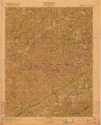
1915 · Whitesburg
USGS Topo · 1:62,500
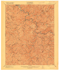
1916 · Cornettsville
USGS Topo · 1:62,500
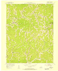
1954 · Hindman
USGS Topo · 1:24,000