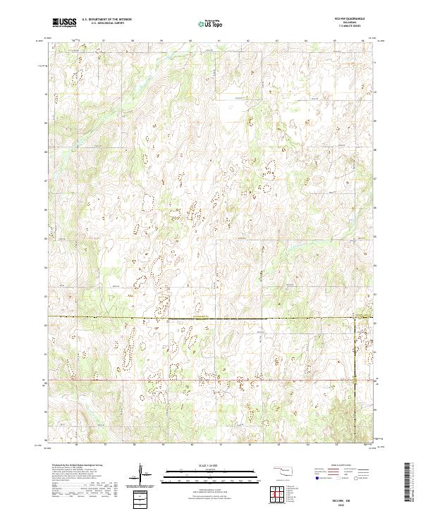
2022 Map of Vici NW
USGS Topo · Published 2022About this map
The tri-county intersection of Woodward, Ellis, and Dewey counties anchors this section of the Oklahoma plains. The landscape is defined by the headwaters and drainage basins of several key watercourses, most notably N Persimmon Cr in the north and S Persimmon Cr further south, while Turkey Cr cuts through the southwestern corner. These creek beds create the primary relief in an otherwise gridded agricultural region.
Find a feature on this map
25 named features on this map. Tap any name to fly to it.
Don’t see what you’re looking for? This feature index may not catch every label — zoom into the map to look around manually.
Map Details
Editions of this 2022 Vici NW Map
This is the sole edition of this map. No revisions or reprints were ever made.
Other maps of this area

1955 · Woodward
USGS Topo · 1:250,000

1958 · Woodward
USGS Topo · 1:250,000

1969 · Vici NW
USGS Topo · 1:24,000

1969 · Woodward SW
USGS Topo · 1:24,000

1969 · Sharon
USGS Topo · 1:24,000

1969 · Fargo SE
USGS Topo · 1:24,000

1969 · Camargo
USGS Topo · 1:24,000

1969 · Vici
USGS Topo · 1:24,000

1970 · Harmon
USGS Topo · 1:24,000
1970 · Harmon SE
USGS Topo · 1:24,000