
1969 Map of Vici NW
USGS Topo · Published 1971About this map
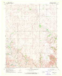
The Old Indian Treaty Boundary serves as a primary geographic anchor for this terrain, marking the historical division between Woodward and Ellis counties. This landscape in the late 1960s was defined by its drainage basins and early industrial footprint. North Persimmon Creek and South Persimmon Creek wind through the central portions of the map, while Turkey Creek cuts across the southern sections near a prominent Pipeline.
Find a feature on this map
15 named features on this map. Tap any name to fly to it.
Don’t see what you’re looking for? This feature index may not catch every label — zoom into the map to look around manually.
Map Details
Editions of this 1969 Vici NW Map
This is the sole edition of this map. No revisions or reprints were ever made.
Other maps of this area

1955 · Woodward
USGS Topo · 1:250,000

1958 · Woodward
USGS Topo · 1:250,000

1969 · Woodward SW
USGS Topo · 1:24,000

1969 · Sharon
USGS Topo · 1:24,000

1969 · Fargo SE
USGS Topo · 1:24,000

1969 · Camargo
USGS Topo · 1:24,000

1969 · Vici
USGS Topo · 1:24,000

1970 · Harmon
USGS Topo · 1:24,000
1970 · Harmon SE
USGS Topo · 1:24,000
1970 · Vici SW
USGS Topo · 1:24,000