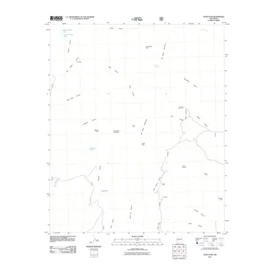
2011 Map of Vicks Peak
USGS Topo · Published 2011About this map
Vicks Peak and the high ridges of the San Mateo Mountains dominate this high-desert landscape in Socorro County, New Mexico. The area is defined by a series of deep drainages including Smith Canyon, Holdup Canyon, and Nogal Canyon that cut through the volcanic terrain. Evidence of historic prospectors and ranchers is found in the scattered structures and working sites that dot the map, such as Cooks Cabin, Myers Cabin, and Shipman Cabin.
Find a feature on this map
38 named features on this map. Tap any name to fly to it.
Don’t see what you’re looking for? This feature index may not catch every label — zoom into the map to look around manually.
Map Details
Editions of this 2011 Vicks Peak Map
This is the sole edition of this map. No revisions or reprints were ever made.
Other maps of this area

1954 · Tularosa
USGS Topo · 1:250,000

1958 · Tularosa
USGS Topo · 1:250,000

1961 · Sierra Fijardo
USGS Topo · 1:24,000

1961 · Monticello
USGS Topo · 1:24,000

1964 · Welty Hill
USGS Topo · 1:24,000

1964 · Vicks Peak
USGS Topo · 1:24,000

1964 · San Juan Peak
USGS Topo · 1:24,000

1964 · Blue Mountain
USGS Topo · 1:24,000

1964 · Montoya Butte
USGS Topo · 1:24,000

1964 · Steel Hill
USGS Topo · 1:24,000