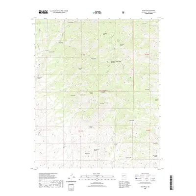
2020 Map of Vicks Peak
USGS Topo · Published 2020About this map
San Mateo Peak and its namesake mountains dominate this high-altitude section of the Cibola National Forest. The landscape is defined by a complex network of drainage basins and high summits, including Vicks Peak and San Mateo Mtn. These peaks are separated by deep-cut canyons such as Nave Canyon, Nogal Canyon, and Mila Canyon, creating a vertical terrain that dictates the location of sparse human improvements. Water sources are critical in this environment, represented by widely dispersed features like Nave Spring, Whitetail Tank, and the Rock Head Dam Tank. While the area remains largely undeveloped, the presence of Burma Rd and several named parks such as Luna Park and Spruce Park indicate long-standing patterns of forestry and land management in this portion of Socorro County.
Find a feature on this map
52 named features on this map. Tap any name to fly to it.
Don’t see what you’re looking for? This feature index may not catch every label — zoom into the map to look around manually.
Map Details
Editions of this 2020 Vicks Peak Map
This is the sole edition of this map. No revisions or reprints were ever made.
Other maps of this area

1954 · Tularosa
USGS Topo · 1:250,000

1958 · Tularosa
USGS Topo · 1:250,000

1961 · Sierra Fijardo
USGS Topo · 1:24,000

1961 · Monticello
USGS Topo · 1:24,000

1964 · Welty Hill
USGS Topo · 1:24,000

1964 · Vicks Peak
USGS Topo · 1:24,000

1964 · San Juan Peak
USGS Topo · 1:24,000

1964 · Blue Mountain
USGS Topo · 1:24,000

1964 · Montoya Butte
USGS Topo · 1:24,000

1964 · Steel Hill
USGS Topo · 1:24,000