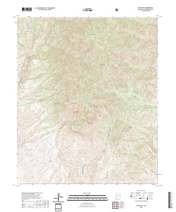
2023 Map of Vicks Peak
USGS Topo · Published 2023About this map
San Mateo Peak and the surrounding high country dominate this survey of the Apache Kid Wilderness within the Cibola National Forest. The landscape is defined by a dense network of drainage systems and ridges, including Holdup Canyon and Nogal Canyon, which shaped the movement of early travelers through the San Mateo Mountains. Essential water sources for cattle and backcountry transit are carefully documented, such as Whitetail Spring, Rock Spring, and Shipman Tank. While primarily a wilderness study, the map records signs of human presence at Casa Grande and along the historic route of Burma Rd. These features, alongside named points like Biscuit Knob and Vicks Peak, provide a clear record of the geographic nomenclature used by the Forest Service and local ranchers in this portion of Socorro County.
Find a feature on this map
57 named features on this map. Tap any name to fly to it.
Don’t see what you’re looking for? This feature index may not catch every label — zoom into the map to look around manually.
Map Details
Editions of this 2023 Vicks Peak Map
This is the sole edition of this map. No revisions or reprints were ever made.
Other maps of this area

1954 · Tularosa
USGS Topo · 1:250,000

1958 · Tularosa
USGS Topo · 1:250,000

1961 · Sierra Fijardo
USGS Topo · 1:24,000

1961 · Monticello
USGS Topo · 1:24,000

1964 · Welty Hill
USGS Topo · 1:24,000

1964 · Vicks Peak
USGS Topo · 1:24,000

1964 · San Juan Peak
USGS Topo · 1:24,000

1964 · Blue Mountain
USGS Topo · 1:24,000

1964 · Montoya Butte
USGS Topo · 1:24,000

1964 · Steel Hill
USGS Topo · 1:24,000