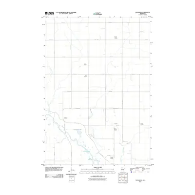
2010 Map of Vicksburg
USGS Topo · Published 2010About this map
The Minnesota River carves a sweeping path through the southwestern portion of this Renville County landscape, creating a complex series of backwaters and lakes. Scattered along its north bank are notably named features like Gold Mine Lake, Becken dorf Lake, and Cummings Lake. This area was historically organized around agrarian rural hubs, as evidenced by the dense concentration of small burial grounds and local institutions.
Find a feature on this map
37 named features on this map. Tap any name to fly to it.
Don’t see what you’re looking for? This feature index may not catch every label — zoom into the map to look around manually.
Map Details
Editions of this 2010 Vicksburg Map
This is the sole edition of this map. No revisions or reprints were ever made.
Other maps of this area

1952 · Redwood Falls
USGS Topo · 1:62,500

1953 · New Ulm
USGS Topo · 1:250,000

1957 · New Ulm
USGS Topo · 1:250,000

1958 · New Ulm
USGS Topo · 1:250,000

1965 · Danube
USGS Topo · 1:24,000

1965 · Belview
USGS Topo · 1:24,000

1965 · Iverson Lake
USGS Topo · 1:24,000

1965 · Sacred Heart
USGS Topo · 1:24,000

1965 · Renville
USGS Topo · 1:24,000

1967 · New Ulm
USGS Topo · 1:250,000