
1965 Map of Danube
USGS Topo · Published 1966About this map
Danube and the western edge of Olivia anchor this mid-1960s survey of the Renville County agricultural landscape. The region is defined by an intensive drainage network including County Ditch No 31 and County Ditch No 55, which feed into the meandering branches of Beaver Creek. The transportation corridor of the Chicago Milwaukee St Paul and Pacific railroad runs parallel to Route 212, providing the primary connection between the grain elevators and Storage Bins found in the local settlements. Cultural landmarks such as the Winfield Cem, Danube Cem, and the United Brethren Cem are scattered across the townships of Winfield and Troy, offering specific points of interest for genealogists tracing family histories in these rural communities. Small-scale industrial sites, including several Gravel Pits, are noted near the rail line, highlighting the local extraction activities of the era.
Find a feature on this map
29 named features on this map. Tap any name to fly to it.
Don’t see what you’re looking for? This feature index may not catch every label — zoom into the map to look around manually.
Map Details
Editions of this 1965 Danube Map
This is the sole edition of this map. No revisions or reprints were ever made.
Other maps of this area

1952 · Morton
USGS Topo · 1:62,500

1952 · Redwood Falls
USGS Topo · 1:62,500

1953 · New Ulm
USGS Topo · 1:250,000

1957 · New Ulm
USGS Topo · 1:250,000

1957 · Olivia
USGS Topo · 1:62,500

1958 · New Ulm
USGS Topo · 1:250,000
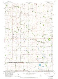
1965 · Blomkest
USGS Topo · 1:24,000

1965 · Renville
USGS Topo · 1:24,000
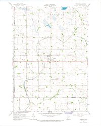
1965 · Prinsburg
USGS Topo · 1:24,000

1967 · New Ulm
USGS Topo · 1:250,000