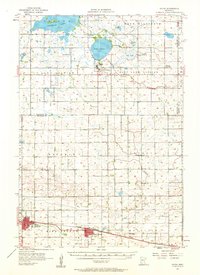
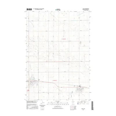
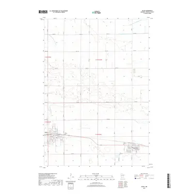
1957 Map of Olivia
USGS Topo · Published 1959About this map
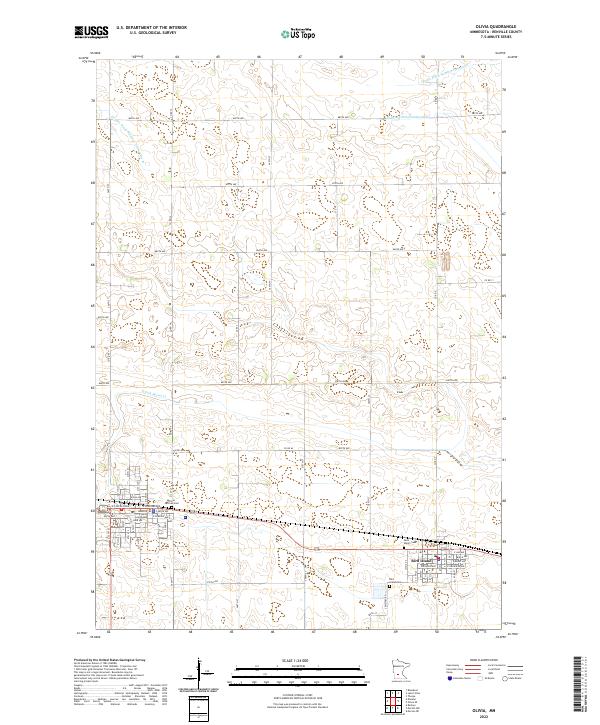
Olivia and Bird Island serve as primary hubs along the southern edge of this mid-century landscape, positioned along the Chicago Milwaukee St Paul and Pacific rail line. The map illustrates a rich social fabric of the Minnesota prairie, documented by several country churches and cemeteries such as St Johns Ch, Elim Ch, and the Christina Cem. To the north, the terrain transitions into a more water-influenced geography dominated by Kandiyohi Lake and Lake Elizabeth. The settlement of Lake Lillian sits near its namesake water body, while the presence of a Free Ch (Abandoned) and the Thorpe (Thorp Sta) on the Minneapolis and St Louis line reveals the evolving footprint of early 20th-century transportation and community life before the consolidation of rural infrastructure.
Find a feature on this map
36 named features on this map. Tap any name to fly to it.
Don’t see what you’re looking for? This feature index may not catch every label — zoom into the map to look around manually.
Map Details
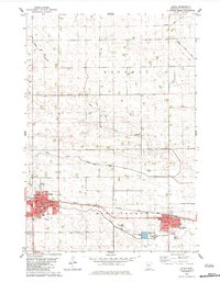
Editions of this 1957 Olivia Map
This is the sole edition of this map. No revisions or reprints were ever made.
Historical Maps of Olivia Through Time
7 maps found
Featured Locations
- Kandiyohi County, MN
- Lake Lillian, MN
- Bird Island, MN
- Olivia, MN
- Meadowcrest Estates Mobile Home Park, Olivia