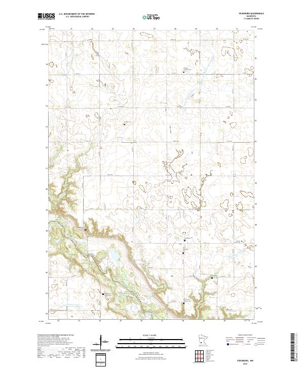
2022 Map of Vicksburg
USGS Topo · Published 2022About this map
The Minnesota River valley carves a deep diagonal through this Renville County landscape, where the Minnesota River Trl follows the northern bank near the historic site of Vicksburg Cem. The upland plains are defined by an extensive drainage network, including County Ditch Number One Hundred Seven and Ditch Number Thirtyfive A, which support the region's agricultural character. Small water bodies like Cummings Lake and Gold Mine Lake sit near the river's edge, while Timms Cr and Sacred Heart Cr feed into the main valley.
Find a feature on this map
55 named features on this map. Tap any name to fly to it.
Don’t see what you’re looking for? This feature index may not catch every label — zoom into the map to look around manually.
Map Details
Editions of this 2022 Vicksburg Map
This is the sole edition of this map. No revisions or reprints were ever made.
Other maps of this area

1952 · Redwood Falls
USGS Topo · 1:62,500

1953 · New Ulm
USGS Topo · 1:250,000

1957 · New Ulm
USGS Topo · 1:250,000

1958 · New Ulm
USGS Topo · 1:250,000

1965 · Danube
USGS Topo · 1:24,000

1965 · Belview
USGS Topo · 1:24,000

1965 · Iverson Lake
USGS Topo · 1:24,000

1965 · Sacred Heart
USGS Topo · 1:24,000

1965 · Renville
USGS Topo · 1:24,000

1967 · New Ulm
USGS Topo · 1:250,000