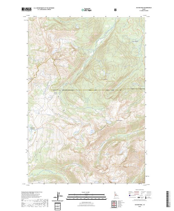
2024 Map of Victor Peak
USGS Topo · Published 2024About this map
Payette National Forest encompasses the high-altitude terrain of the Salmon River Mountains, where the boundary between Idaho County and Valley County follows the prominent ridgelines. The landscape is defined by its glacial cirques and alpine basins, which harbor numerous high-mountain water bodies such as Josephine Lake, Nethker Lake, and the connected Victor Lake. Connectivity through this backcountry relies on a network of historical paths, including the Bear Pete Ridge Trl and the Twentymile Trl, which navigate the steep gradients between peaks. Significant summits like Victor Peak and Storm Peak anchor the southeastern corner, while Diamond Rock and Diamond Ridge provide landmarks for those traversing the high divides. The presence of Ruby Meadows and Secesh Summit indicates the high-altitude drainage systems that feed into the region's major creek networks, including Victor Creek and Summit Creek.
Find a feature on this map
55 named features on this map. Tap any name to fly to it.
Don’t see what you’re looking for? This feature index may not catch every label — zoom into the map to look around manually.
Map Details
Editions of this 2024 Victor Peak Map
This is the sole edition of this map. No revisions or reprints were ever made.
Other maps of this area

1938 · Riggins
USGS Topo · 1:96,000

1945 · Riggins
USGS Topo · 1:125,000

1955 · Grangeville
USGS Topo · 1:250,000

1956 · Burgdorf
USGS Topo · 1:62,500

1956 · Elk City
USGS Topo · 1:250,000

1959 · Grangeville
USGS Topo · 1:250,000

1960 · Elk City
USGS Topo · 1:250,000

1963 · Granite Lake
USGS Topo · 1:24,000

1963 · Black Tip
USGS Topo · 1:24,000

1963 · Hershey Point
USGS Topo · 1:24,000