
1963 Map of Hershey Point
USGS Topo · Published 1965About this map
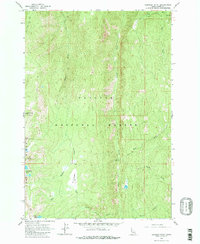
Hershey Point Lookout stands as a sentinel over this mountainous portion of the Payette National Forest, where the high-altitude landscape is defined by volcanic features and remote water bodies. The terrain transitions from the volcanic heights of Lava Butte and the sheer face of Sams Throne down to the high alpine waters of Lava Butte Lakes and Scribner Lake.
Find a feature on this map
21 named features on this map. Tap any name to fly to it.
Don’t see what you’re looking for? This feature index may not catch every label — zoom into the map to look around manually.
Map Details
Editions of this 1963 Hershey Point Map
2 editions found
Other maps of this area

1938 · Riggins
USGS Topo · 1:96,000

1945 · Riggins
USGS Topo · 1:125,000

1955 · Grangeville
USGS Topo · 1:250,000

1956 · Burgdorf
USGS Topo · 1:62,500

1956 · Elk City
USGS Topo · 1:250,000

1959 · Grangeville
USGS Topo · 1:250,000

1960 · Elk City
USGS Topo · 1:250,000

1963 · Black Tip
USGS Topo · 1:24,000
1963 · Hazard Lake
USGS Topo · 1:24,000
1964 · Patrick Butte
USGS Topo · 1:24,000