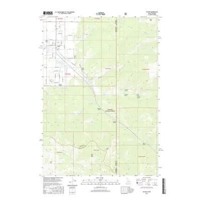
2017 Map of Victor
USGS Topo · Published 2017About this map
The Victor settlement and the lush Teton Basin define this landscape along the Idaho and Wyoming border. Located at the foot of the Snake River Range, the town is surrounded by a complex network of irrigation infrastructure including the Kimball Canal, Spencer Canal, and Kearsley Canal, which draw from Trail Cr to support local agriculture. The transition from the valley floor to the high elevations of the Targhee National Forest is marked by numerous canyons, such as Nordwall Canyon and Sherman Canyon. This 2017 survey captures the modern road grid of Victor, featuring streets like S Main St and Cedron St, while documenting vital local landmarks like the Victor Cem and the Sweet Hollow settlement. Significant peaks such as Oliver Peak and Fogg Hill anchor the southern terrain, illustrating the dramatic geography where the basin meets the mountains.
Find a feature on this map
85 named features on this map. Tap any name to fly to it.
Don’t see what you’re looking for? This feature index may not catch every label — zoom into the map to look around manually.
Map Details
Editions of this 2017 Victor Map
This is the sole edition of this map. No revisions or reprints were ever made.
Other maps of this area

1899 · Grand Teton
USGS Topo · 1:125,000

1901 · Grand Teton
USGS Topo · 1:125,000

1931 · Jackson
USGS Topo · 1:125,000

1932 · Irwin
USGS Topo · 1:96,000

1935 · Irwin
USGS Topo · 1:125,000

1935 · Jackson
USGS Topo · 1:125,000

1943 · Driggs
USGS Topo · 1:62,500

1946 · Driggs
USGS Topo · 1:62,500

1955 · Driggs
USGS Topo · 1:250,000

1958 · Driggs
USGS Topo · 1:250,000