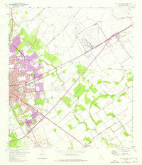
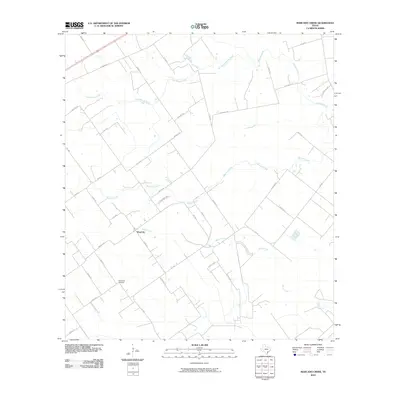
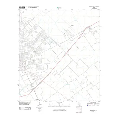
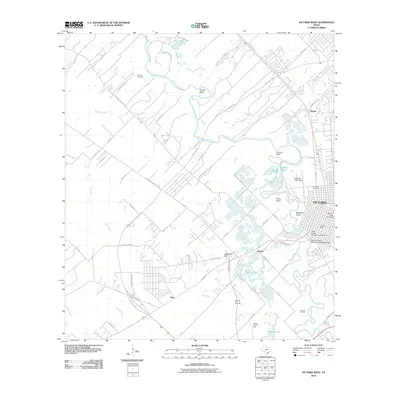
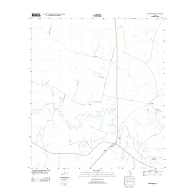
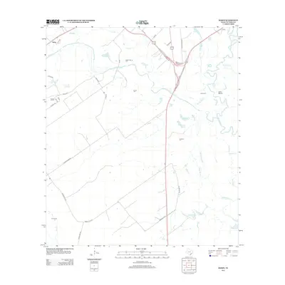
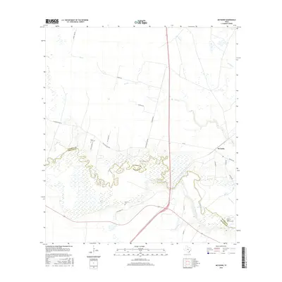
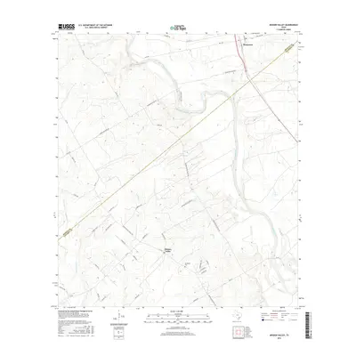
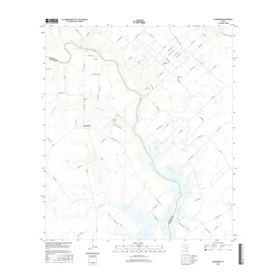
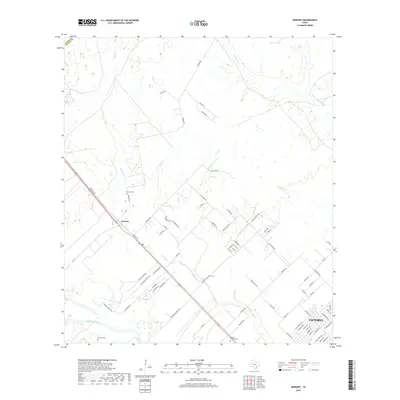
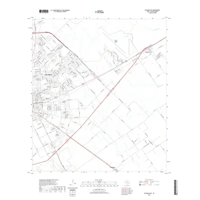
1995 Map of Victoria East
USGS Topo · Published 1995About this map
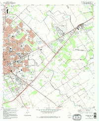
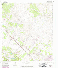
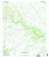
Victoria dominates the landscape of this mid-1990s survey, showing a city defined by its educational institutions and expanding corporate boundaries. The map documents a dense network of local schools, from Rowland Sch and Shields Sch to the campus grounds of Victoria College and the University of Houston-Victoria. Religious and community landmarks, such as the Incarnate Word Convent and Resurrection Cemetery, sit alongside civic spaces like Will Rogers Park and Hopkins Park.
Find a feature on this map
57 named features on this map. Tap any name to fly to it.
Don’t see what you’re looking for? This feature index may not catch every label — zoom into the map to look around manually.
Map Details
Editions of this 1995 Victoria East Map
This is the sole edition of this map. No revisions or reprints were ever made.
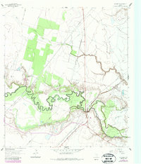
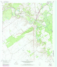
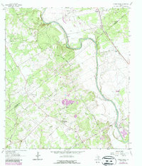
Historical Maps of Victoria Through Time
70 maps found
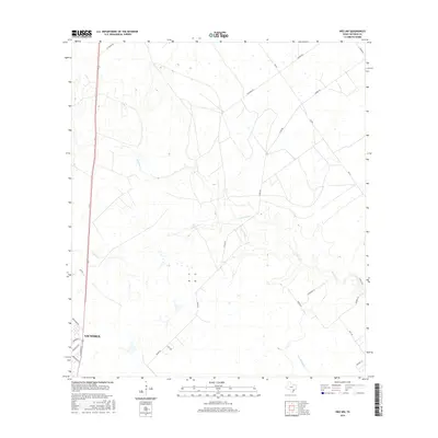
1951 Inez NW
Victoria County, TX
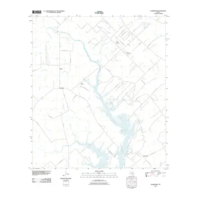
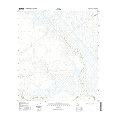
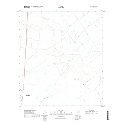
1952 Bloomington SW
Victoria County, TX
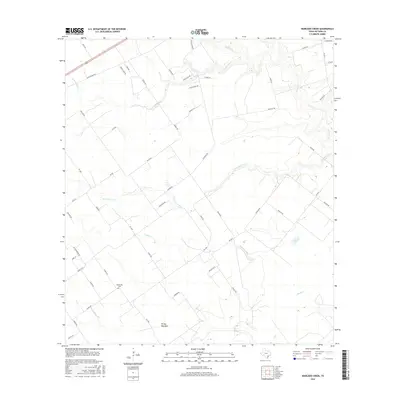
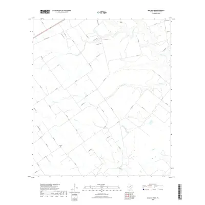
1952 Marcado Creek
Victoria County, TX
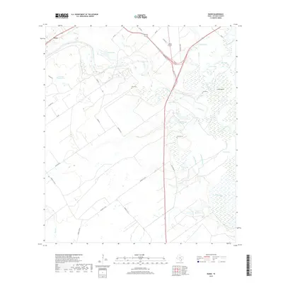
1952 Victoria East
Victoria County, TX
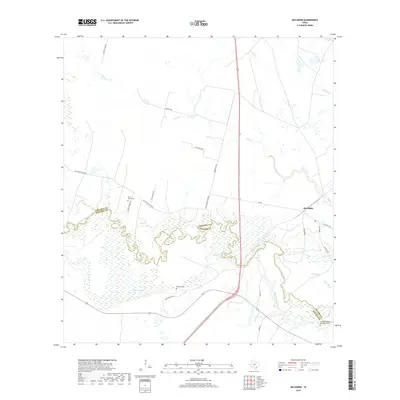
1962 McFaddin
Victoria County, TX
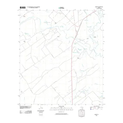
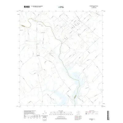
1962 Raisin
Victoria County, TX
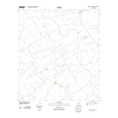
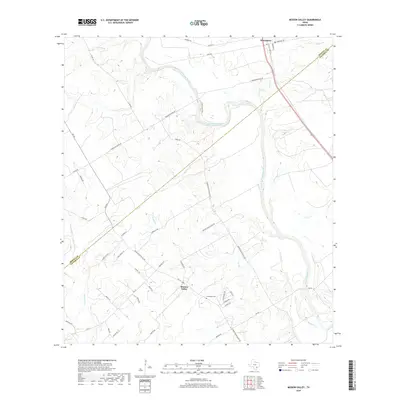
1963 Mission Valley
Victoria County, TX
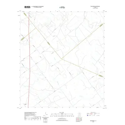
1963 Nursery
Victoria County, TX
1964 Schroeder
Victoria County, TX

1964 Victoria West
Victoria County, TX
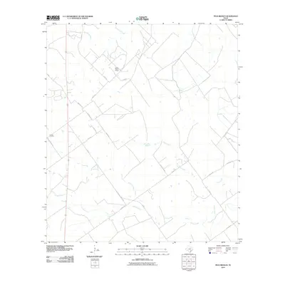
1966 Peck Branch
Victoria County, TX
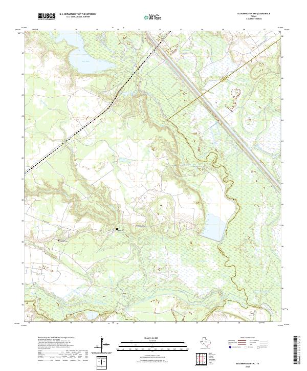
1995 Bloomington SW
Victoria County, TX
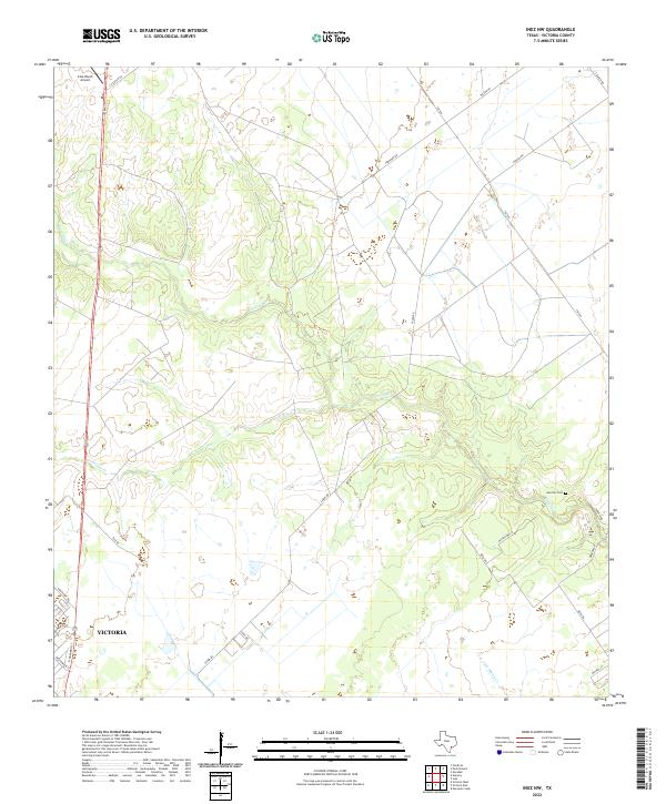
1995 Inez NW
Victoria County, TX
1995 Marcado Creek
Victoria County, TX
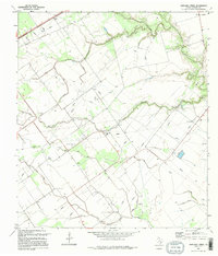
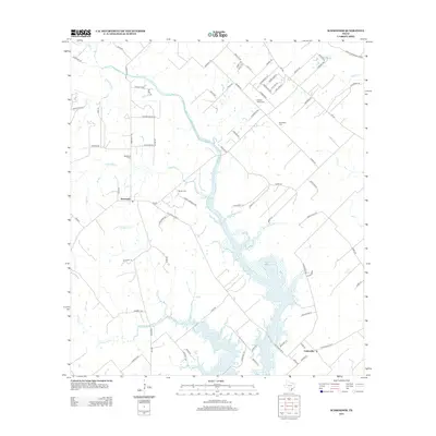
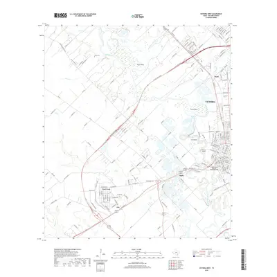
1995 Victoria East
Victoria County, TX
2010 Bloomington SW
Victoria County, TX
2010 Inez NW
Victoria County, TX
2010 Marcado Creek
Victoria County, TX
2010 McFaddin
Victoria County, TX
2010 Mission Valley
Victoria County, TX
2010 Nursery
Victoria County, TX
2010 Peck Branch
Victoria County, TX
2010 Raisin
Victoria County, TX
2010 Schroeder
Victoria County, TX
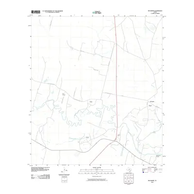
2010 Victoria East
Victoria County, TX
2010 Victoria West
Victoria County, TX
2013 Bloomington SW
Victoria County, TX
2013 Inez NW
Victoria County, TX
2013 Marcado Creek
Victoria County, TX
2013 McFaddin
Victoria County, TX
2013 Mission Valley
Victoria County, TX
2013 Nursery
Victoria County, TX
2013 Peck Branch
Victoria County, TX
2013 Raisin
Victoria County, TX
2013 Schroeder
Victoria County, TX
2013 Victoria East
Victoria County, TX
2013 Victoria West
Victoria County, TX
2016 Bloomington SW
Victoria County, TX
2016 Inez NW
Victoria County, TX
2016 Marcado Creek
Victoria County, TX
2016 McFaddin
Victoria County, TX
2016 Mission Valley
Victoria County, TX
2016 Nursery
Victoria County, TX
2016 Peck Branch
Victoria County, TX
2016 Raisin
Victoria County, TX
2016 Schroeder
Victoria County, TX
2016 Victoria East
Victoria County, TX
2016 Victoria West
Victoria County, TX
2019 Bloomington SW
Victoria County, TX
2019 Inez NW
Victoria County, TX
2019 Marcado Creek
Victoria County, TX
2019 McFaddin
Victoria County, TX
2019 Mission Valley
Victoria County, TX
2019 Nursery
Victoria County, TX
2019 Peck Branch
Victoria County, TX
2019 Raisin
Victoria County, TX
2019 Schroeder
Victoria County, TX
2019 Victoria East
Victoria County, TX
2019 Victoria West
Victoria County, TX
2022 Bloomington SW
Victoria County, TX
2022 Inez NW
Victoria County, TX
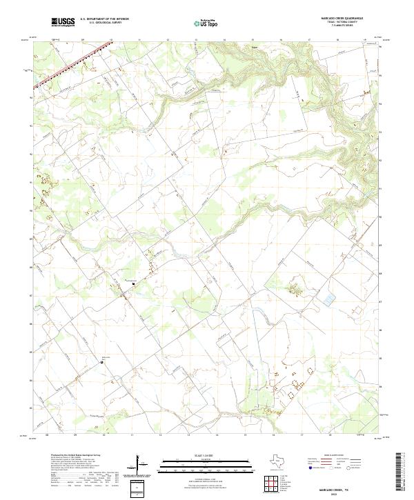
2022 Marcado Creek
Victoria County, TX
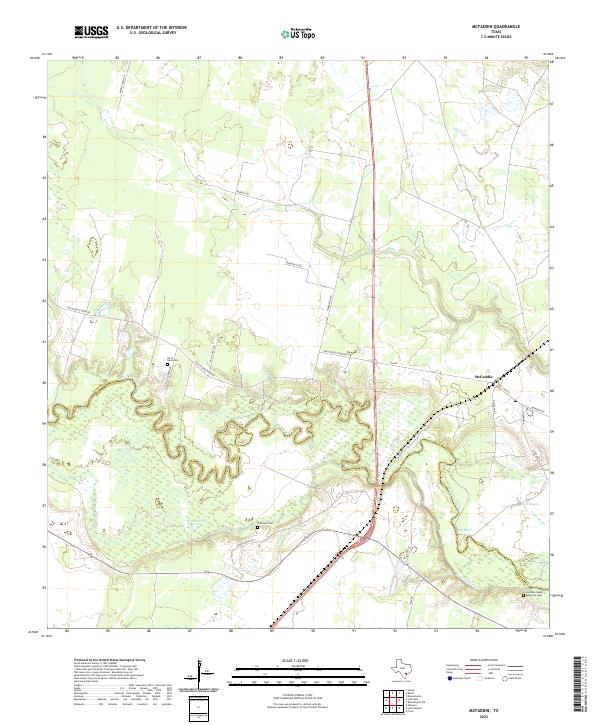
2022 McFaddin
Victoria County, TX
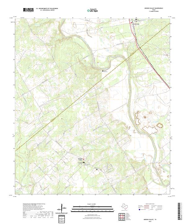
2022 Mission Valley
Victoria County, TX
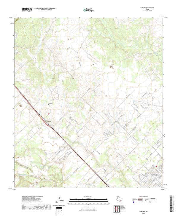
2022 Nursery
Victoria County, TX
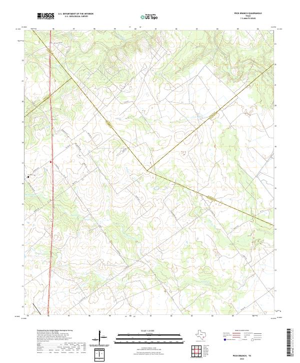
2022 Peck Branch
Victoria County, TX
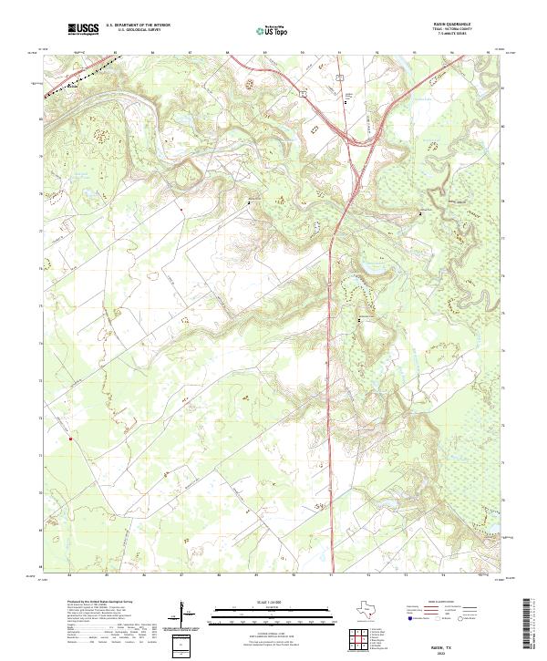
2022 Raisin
Victoria County, TX
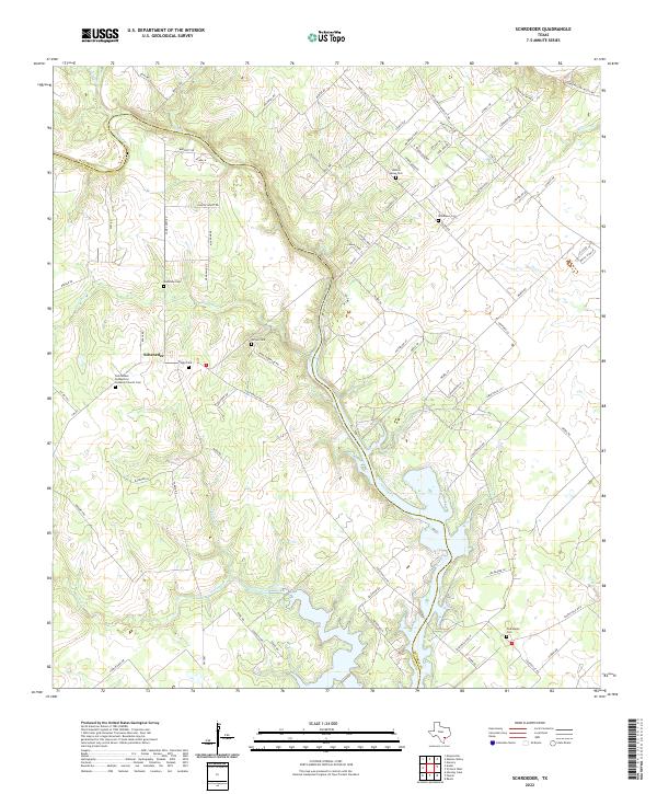
2022 Schroeder
Victoria County, TX
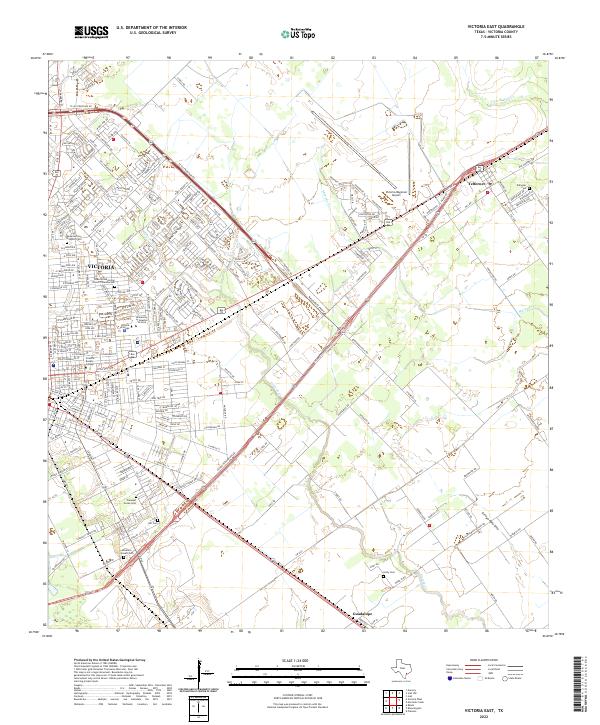
2022 Victoria East
Victoria County, TX
2022 Victoria West
Victoria County, TX