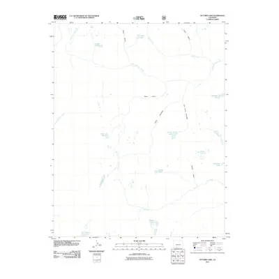
2011 Map of Victoria Lake
USGS Topo · Published 2011About this map
Victoria Lake and a high-elevation network of alpine basins define this part of the San Juan Mountains in Conejos County. The landscape is a vital headwaters region, where the South Fork Conejos River flows northeast and the East Fork Rio Chama begins its descent to the south. Notable for its many small, named bodies of water, the area includes Laguna Ruybal, Laguna Venado, and Timber Lake, suggesting a terrain shaped by glacial activity. Deep drainages like Rincon Cañon and Victoria Gulch cut through the steep topography, providing natural corridors through the wilderness. This survey also records the westernmost reach of the East Fork Navajo River, capturing a critical Continental Divide drainage point where waters split toward the Atlantic and Pacific basins.
Find a feature on this map
23 named features on this map. Tap any name to fly to it.
Don’t see what you’re looking for? This feature index may not catch every label — zoom into the map to look around manually.
Map Details
Editions of this 2011 Victoria Lake Map
This is the sole edition of this map. No revisions or reprints were ever made.
Other maps of this area

1913 · Summitville
USGS Topo · 1:125,000

1915 · Summitville
USGS Topo · 1:125,000

1922 · Conejos
USGS Topo · 1:125,000

1945 · Durango
USGS Topo · 1:250,000

1953 · Durango
USGS Topo · 1:250,000

1954 · Durango
USGS Topo · 1:250,000

1957 · Chama Peak
USGS Topo · 1:62,500

1961 · Durango
USGS Topo · 1:250,000

1963 · Durango
USGS Topo · 1:250,000

1966 · Durango
USGS Topo · 1:250,000