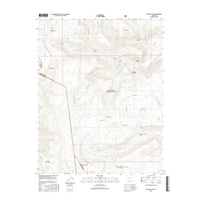
2016 Map of Victoria Lake
USGS Topo · Published 2016About this map
The San Juan Mountains define this high-altitude landscape along the border of Conejos and Archuleta counties. This 2016 survey documents a wilderness of glacial lakes and steep drainages, including Laguna Ruybal, Green Lake, and Burro Lake. The topography is shaped by significant watercourses like the S Fork Conejos River and the E Fork Navajo River, which carve through deep canyons such as Canon Rincon and Canon Bonito. The land is divided between the San Juan NF and the Rio Grande National Forest, with the Continental Divide National Scenic Trail winding across the southern terrain. This map provides a detailed record of the primitive trail system, including the Glacier Lake Trail and Valle Victoria Trail, used to navigate the high basins and passes long before modern infrastructure reached these peaks.
Find a feature on this map
41 named features on this map. Tap any name to fly to it.
Don’t see what you’re looking for? This feature index may not catch every label — zoom into the map to look around manually.
Map Details
Editions of this 2016 Victoria Lake Map
This is the sole edition of this map. No revisions or reprints were ever made.
Other maps of this area

1913 · Summitville
USGS Topo · 1:125,000

1915 · Summitville
USGS Topo · 1:125,000

1922 · Conejos
USGS Topo · 1:125,000

1945 · Durango
USGS Topo · 1:250,000

1953 · Durango
USGS Topo · 1:250,000

1954 · Durango
USGS Topo · 1:250,000

1957 · Chama Peak
USGS Topo · 1:62,500

1961 · Durango
USGS Topo · 1:250,000

1963 · Durango
USGS Topo · 1:250,000

1966 · Durango
USGS Topo · 1:250,000