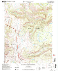
2001 Map of Victoria Lake
USGS Topo · Published 2005About this map
The Continental Divide forms a massive high-altitude spine across this section of southern Colorado, marking the boundary between the Rio Grande National Forest and the San Juan National Forest. This landscape is dominated by the sprawling South San Juan Wilderness, where ancient glacial activity is evidenced by high-mountain basins holding Victoria Lake, Burro Lake, and Laguna Reubal. The southwestern portion of the map is defined by the historic boundaries of the Pierra Amarilla Grant, reflecting early land division patterns in the San Juan Mountains.
Find a feature on this map
39 named features on this map. Tap any name to fly to it.
Don’t see what you’re looking for? This feature index may not catch every label — zoom into the map to look around manually.
Map Details
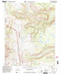
Editions of this 2001 Victoria Lake Map
2 editions found
Other maps of this area

1913 · Summitville
USGS Topo · 1:125,000

1915 · Summitville
USGS Topo · 1:125,000

1922 · Conejos
USGS Topo · 1:125,000

1945 · Durango
USGS Topo · 1:250,000

1953 · Durango
USGS Topo · 1:250,000

1954 · Durango
USGS Topo · 1:250,000

1957 · Chama Peak
USGS Topo · 1:62,500

1961 · Durango
USGS Topo · 1:250,000

1963 · Durango
USGS Topo · 1:250,000

1966 · Durango
USGS Topo · 1:250,000