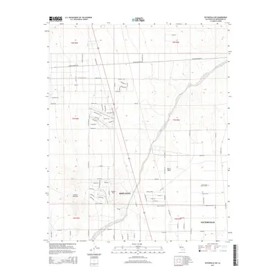
2015 Map of Victorville NW
USGS Topo · Published 2015About this map
Adelanto and the northwestern edges of Victorville occupy this high-desert landscape in the mid-2010s, showing a transition from dense suburban grids to open arid terrain. The Fremont Wash cuts diagonally through the center of the sheet, providing a natural drainage corridor through the Mojave Desert toward the mountains. To the west, the Shadow Mountains and Shadow Hills rise from the desert floor, creating a stark contrast to the developing residential blocks and the planned street networks of the surrounding valley. Local landmarks such as the United Islamic Youth Cemetery are visible among the expanding network of local roads including Shadow Mountain Rd and Richardson Rd. This survey documents the intersection of modern municipal growth and the permanent geological features that define the region's geography.
Find a feature on this map
79 named features on this map. Tap any name to fly to it.
Don’t see what you’re looking for? This feature index may not catch every label — zoom into the map to look around manually.
Map Details
Editions of this 2015 Victorville NW Map
This is the sole edition of this map. No revisions or reprints were ever made.
Other maps of this area

1932 · Barstow
USGS Topo · 1:125,000

1934 · Barstow
USGS Topo · 1:125,000

1937 · Shadow Mountains
USGS Topo · 1:48,000

1937 · Kramer
USGS Topo · 1:48,000

1942 · Kramer
USGS Topo · 1:62,500

1942 · Shadow Mountains
USGS Topo · 1:62,500

1947 · Red Buttes
USGS Topo · 1:24,000

1953 · San Bernardino
USGS Topo · 1:250,000
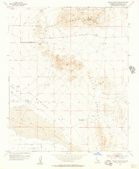
1955 · Shadow Mountains
USGS Topo · 1:24,000
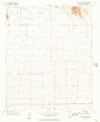
1955 · Shadow Mountains SE
USGS Topo · 1:24,000