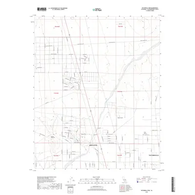
2018 Map of Victorville NW
USGS Topo · Published 2018About this map
Adelanto and the western reaches of Victorville occupy this high desert landscape, showing the ongoing residential expansion into the Mojave Desert. The map reveals a transitioning environment where suburban street grids, such as those in Shadow Hills, meet the wide, arid expanse of the Shadow Mountains. Large-scale natural features like the Fremont Wash cut diagonally across the survey area, illustrating the drainage patterns that define this part of San Bernardino County. Development is concentrated along corridors like Shadow Mountain Rd and El Privilegio Rd, while more isolated sites such as the United Islamic Youth Cem provide specific points of interest for local history and genealogical research. The naming of streets like Vancouver Ave and Graymoor Ave reflects the planned growth of these High Desert communities in the early twenty-first century.
Find a feature on this map
91 named features on this map. Tap any name to fly to it.
Don’t see what you’re looking for? This feature index may not catch every label — zoom into the map to look around manually.
Map Details
Editions of this 2018 Victorville NW Map
This is the sole edition of this map. No revisions or reprints were ever made.
Other maps of this area

1932 · Barstow
USGS Topo · 1:125,000

1934 · Barstow
USGS Topo · 1:125,000

1937 · Shadow Mountains
USGS Topo · 1:48,000

1937 · Kramer
USGS Topo · 1:48,000

1942 · Kramer
USGS Topo · 1:62,500

1942 · Shadow Mountains
USGS Topo · 1:62,500

1947 · Red Buttes
USGS Topo · 1:24,000

1953 · San Bernardino
USGS Topo · 1:250,000
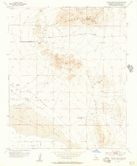
1955 · Shadow Mountains
USGS Topo · 1:24,000
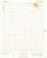
1955 · Shadow Mountains SE
USGS Topo · 1:24,000