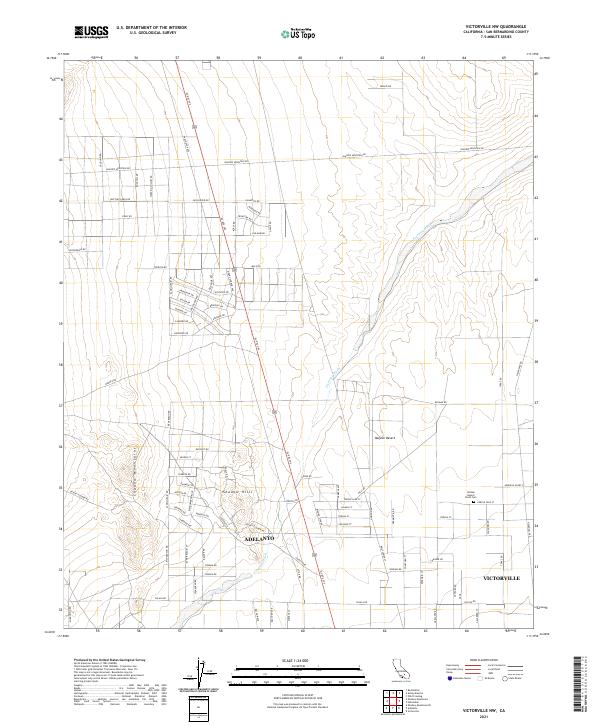
2021 Map of Victorville NW
USGS Topo · Published 2021About this map
The western edges of the Mojave Desert define this landscape, where the arid flats meet the rising slopes of the Shadow Mountains. In the southern portion of the sheet, the expanding residential grids of Adelanto and the northwest corner of Victorville indicate the ongoing growth of these High Desert communities. The terrain is marked by the broad, sandy corridor of the Fremont Wash, which winds through the center of the map, carving a path between the developed neighborhoods of Shadow Hills and the open desert to the north.
Find a feature on this map
90 named features on this map. Tap any name to fly to it.
Don’t see what you’re looking for? This feature index may not catch every label — zoom into the map to look around manually.
Map Details
Editions of this 2021 Victorville NW Map
This is the sole edition of this map. No revisions or reprints were ever made.
Other maps of this area

1932 · Barstow
USGS Topo · 1:125,000

1934 · Barstow
USGS Topo · 1:125,000

1937 · Shadow Mountains
USGS Topo · 1:48,000

1937 · Kramer
USGS Topo · 1:48,000

1942 · Kramer
USGS Topo · 1:62,500

1942 · Shadow Mountains
USGS Topo · 1:62,500

1947 · Red Buttes
USGS Topo · 1:24,000

1953 · San Bernardino
USGS Topo · 1:250,000
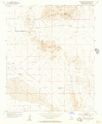
1955 · Shadow Mountains
USGS Topo · 1:24,000
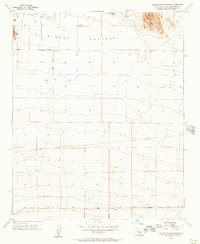
1955 · Shadow Mountains SE
USGS Topo · 1:24,000