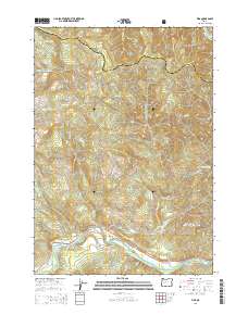
2014 Map of Vida
USGS Topo · Published 2014About this map
Vida and Finn Rock serve as the primary human settlements along this reach of the McKenzie River in Lane County. The landscape is defined by the sharp transition between the river valley and the steep slopes of the Cascade Range, much of which is protected within the Willamette National Forest. Significant water management infrastructure is evident, including the Leaburg Reservoir and the Eugene Water and Electric Board Canal, which diverts water for regional power and utility needs. Local history is reflected in landmarks like the Goodpasture Bridge and the namesake Finn Rock outcrop, while the river itself features Martens Rapids, indicating the turbulent nature of the waterway. Numerous tributaries, such as Gate Creek and Hatchery Creek, feed into the main stem, draining a network of timbered ridges and narrow canyons.
Find a feature on this map
39 named features on this map. Tap any name to fly to it.
Don’t see what you’re looking for? This feature index may not catch every label — zoom into the map to look around manually.
Map Details
Editions of this 2014 Vida Map
This is the sole edition of this map. No revisions or reprints were ever made.
Other maps of this area
1934 · Mc Kenzie Bridge
USGS Topo · 1:96,000
1940 · Mc Kenzie Bridge
USGS Topo · 1:125,000
1951 · Sweet Home
USGS Topo · 1:62,500
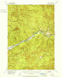
1951 · Leaburg
USGS Topo · 1:62,500
1953 · Salem
USGS Topo · 1:250,000
1954 · Salem
USGS Topo · 1:250,000
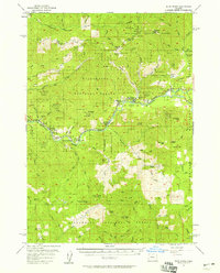
1955 · Blue River
USGS Topo · 1:62,500
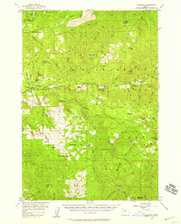
1955 · Cascadia
USGS Topo · 1:62,500
1960 · Salem
USGS Topo · 1:250,000
1962 · Salem
USGS Topo · 1:250,000