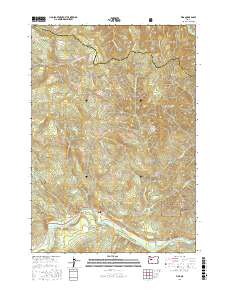
2017 Map of Vida
USGS Topo · Published 2017About this map
The McKenzie River corridor defines this portion of the Cascade Range in eastern Lane County, where the settlement of Vida sits along the northern bank. Infrastructure and water management are prominent throughout the valley, marked by the Leaburg Reservoir and the Eugene Water and Electric Board Canal. The landscape is characterized by a complex network of waterways, including Honey Cr, Gate Cr, and the N Fork Mohawk River, which flow through heavily timbered slopes within the Willamette National Forest. Local navigation and community landmarks are anchored by the Finn Rock Goodpasture Bridge and various rural routes like Sun Ranch Rd and Goodpasture Rd. The map also captures the river's dynamic character at Marten Rapids, reflecting the area's long-standing relationship with its river-driven economy and hydroelectric development.
Find a feature on this map
37 named features on this map. Tap any name to fly to it.
Don’t see what you’re looking for? This feature index may not catch every label — zoom into the map to look around manually.
Map Details
Editions of this 2017 Vida Map
This is the sole edition of this map. No revisions or reprints were ever made.
Other maps of this area
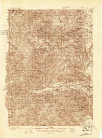
1934 · Mc Kenzie Bridge
USGS Topo · 1:96,000
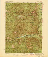
1940 · Mc Kenzie Bridge
USGS Topo · 1:125,000
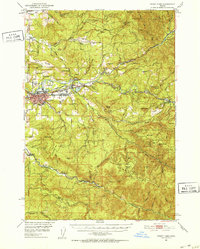
1951 · Sweet Home
USGS Topo · 1:62,500
1951 · Leaburg
USGS Topo · 1:62,500
1953 · Salem
USGS Topo · 1:250,000
1954 · Salem
USGS Topo · 1:250,000
1955 · Blue River
USGS Topo · 1:62,500
1955 · Cascadia
USGS Topo · 1:62,500
1960 · Salem
USGS Topo · 1:250,000
1962 · Salem
USGS Topo · 1:250,000