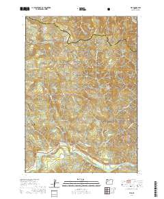
2020 Map of Vida
USGS Topo · Published 2020About this map
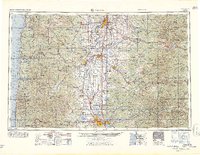
The settlement of Vida sits along the northern banks of the McKenzie River, serving as a gateway to the central Oregon Cascades. This 2020 topographic study illustrates the intricate river-and-road network that defines the region, including the notable Goodpasture Bridge and the critical energy infrastructure represented by the Eugene Water and Electric Board Canal. The landscape is dominated by the steep, forested drainages of the Cascade Range, where numerous water bodies like Gate Cr and the N Fork Mohawk River flow through the Willamette National Forest. Local navigation is defined by family-named routes and utility roads such as Sun Ranch Rd and Leaburg Dam Rd, which connect rural homesteads and fishery sites like those found along Fish Hatchery Rd. The map provides a precise look at the township and range boundaries where Linn Co and Lane Co meet in the high country.
Find a feature on this map
41 named features on this map. Tap any name to fly to it.
Don’t see what you’re looking for? This feature index may not catch every label — zoom into the map to look around manually.
Map Details
Editions of this 2020 Vida Map
This is the sole edition of this map. No revisions or reprints were ever made.
Other maps of this area
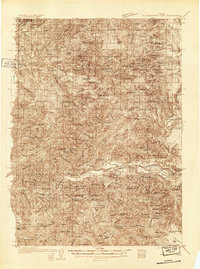
1934 · Mc Kenzie Bridge
USGS Topo · 1:96,000
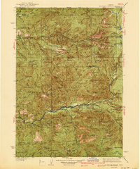
1940 · Mc Kenzie Bridge
USGS Topo · 1:125,000
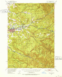
1951 · Sweet Home
USGS Topo · 1:62,500
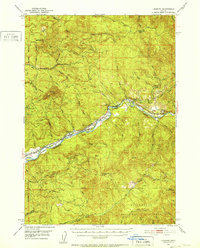
1951 · Leaburg
USGS Topo · 1:62,500

1953 · Salem
USGS Topo · 1:250,000

1954 · Salem
USGS Topo · 1:250,000
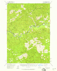
1955 · Blue River
USGS Topo · 1:62,500
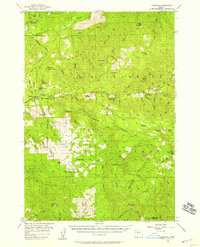
1955 · Cascadia
USGS Topo · 1:62,500
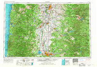
1960 · Salem
USGS Topo · 1:250,000
1962 · Salem
USGS Topo · 1:250,000