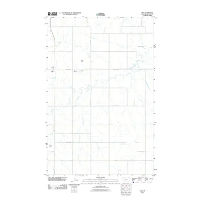
2011 Map of Vida
USGS Topo · Published 2011About this map
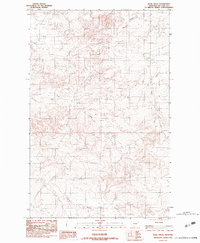
Vida stands as a focal point in this portion of McCone County, positioned along the western edge of a landscape defined by the winding path of Wolf Creek. The settlement pattern reveals the shift from Old Vida to the contemporary community, with the Vida Post Office and Vida Cemetery serving as established landmarks for local researchers. The terrain is deeply etched by a network of drainage systems, including Presserville Creek, Watt Creek, and the prominent Gady Coulee to the northeast. Water management is evident through rural infrastructure such as Bogar Dam and Eugene S Number 1 Dam, while a geometric grid of local routes like Wheatland Rd and Ball Park Rd facilitates movement across the vast agricultural and ranching acreage of the High Plains.
Find a feature on this map
15 named features on this map. Tap any name to fly to it.
Don’t see what you’re looking for? This feature index may not catch every label — zoom into the map to look around manually.
Map Details
Editions of this 2011 Vida Map
This is the sole edition of this map. No revisions or reprints were ever made.
Other maps of this area

1954 · Glendive
USGS Topo · 1:250,000

1957 · Glendive
USGS Topo · 1:250,000
1958 · Glendive
USGS Topo · 1:250,000
1983 · Hudiburgh Reservoir
USGS Topo · 1:24,000
1983 · Buffalo Creek NE
USGS Topo · 1:24,000
1983 · Gady Coulee
USGS Topo · 1:24,000
1983 · Kraut Coulee
USGS Topo · 1:24,000
1983 · Beery Reservoir
USGS Topo · 1:24,000
1983 · Lone Pine School
USGS Topo · 1:24,000
1983 · Rock Creek
USGS Topo · 1:24,000