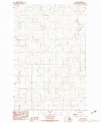
1983 Map of Vida
USGS Topo · Published 1983About this map
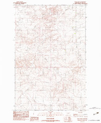
The McCone County high plains are captured here in the early 1980s, revealing the shift in local settlement between the established town of Vida and the site of Old Vida to the east. This area of eastern Montana is defined by the drainage patterns of the Missouri River plateau, where Wolf Creek carves a deep path through the township lines. The landscape is marked by topographic markers of ranching and early settlement history, including a local Cem located near the town site. Navigating the contours reveals the intricate local geography of the northern plains, from the seasonal flows of Gady Coulee in the north to the rugged descent of Gold Gulch in the southeast. This survey provides a clear view of the rural infrastructure and land divisions that shaped life in this part of the Big Sky Country during the late twentieth century.
Find a feature on this map
8 named features on this map. Tap any name to fly to it.
Don’t see what you’re looking for? This feature index may not catch every label — zoom into the map to look around manually.
Map Details
Editions of this 1983 Vida Map
This is the sole edition of this map. No revisions or reprints were ever made.
Other maps of this area

1954 · Glendive
USGS Topo · 1:250,000

1957 · Glendive
USGS Topo · 1:250,000

1958 · Glendive
USGS Topo · 1:250,000

1983 · Hudiburgh Reservoir
USGS Topo · 1:24,000

1983 · Buffalo Creek NE
USGS Topo · 1:24,000
1983 · Gady Coulee
USGS Topo · 1:24,000
1983 · Kraut Coulee
USGS Topo · 1:24,000

1983 · Beery Reservoir
USGS Topo · 1:24,000
1983 · Lone Pine School
USGS Topo · 1:24,000
1983 · Rock Creek
USGS Topo · 1:24,000