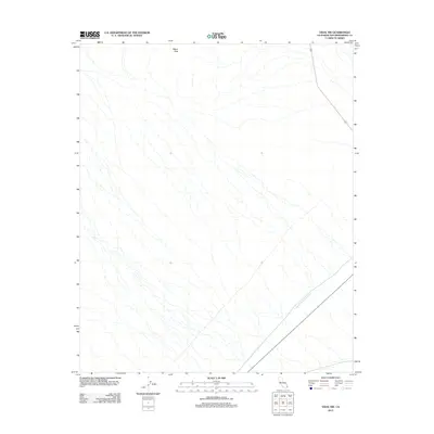
2012 Map of Vidal NW
USGS Topo · Published 2012About this map
Colorado River Aqueduct carves a clear path across this arid corner of the California desert, serving as the most significant man-made landmark in an otherwise unpopulated landscape. This 2012 survey documents the essential water infrastructure and transportation corridors that traverse San Bernardino County, including the intersection of 62 and 95. The topography is dominated by the dry washes and alluvial fans descending from the surrounding heights, with Negro Peak standing as a prominent navigational marker for the region. The map provides a precise record of the engineering required to move water and maintain transit routes through this remote desert environment prior to any further modern development.
Find a feature on this map
4 named features on this map. Tap any name to fly to it.
Don’t see what you’re looking for? This feature index may not catch every label — zoom into the map to look around manually.
Map Details
Editions of this 2012 Vidal NW Map
This is the sole edition of this map. No revisions or reprints were ever made.
Other maps of this area

1943 · Turtle Mts.
USGS Topo · 1:62,500

1943 · Vidal
USGS Topo · 1:62,500

1949 · Vidal
USGS Topo · 1:62,500

1950 · Vidal
USGS Topo · 1:62,500

1950 · Savahia Peak
USGS Topo · 1:62,500

1951 · Savahia Peak
USGS Topo · 1:62,500

1954 · Needles
USGS Topo · 1:250,000

1954 · Turtle Mountains
USGS Topo · 1:62,500

1954 · Rice
USGS Topo · 1:62,500

1956 · Needles
USGS Topo · 1:250,000