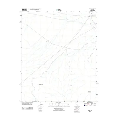
2012 Map of Vidal
USGS Topo · Published 2012About this map
Vidal anchors this desert landscape in eastern San Bernardino County, situated near the intersection of several regional travel routes including Old Parker Rd and the long stretch of Blythe Vidal Rd. To the north of the settlement lies the Holly Cem, providing a point of interest for local history and genealogical research. The geography is dominated by the complex drainage system of Vidal Wash, which cuts across the arid plains as it flows toward the eastern boundary.
Find a feature on this map
9 named features on this map. Tap any name to fly to it.
Don’t see what you’re looking for? This feature index may not catch every label — zoom into the map to look around manually.
Map Details
Editions of this 2012 Vidal Map
This is the sole edition of this map. No revisions or reprints were ever made.
Other maps of this area

1911 · Parker
USGS Topo · 1:125,000

1931 · Moon Mtn
USGS Topo · 1:62,500

1932 · Moon Mtn
USGS Topo · 1:62,500

1942 · Blythe
USGS Topo · 1:250,000

1942 · MOON MTN
USGS Topo · 1:62,500

1943 · Parker
USGS Topo · 1:62,500

1943 · Vidal
USGS Topo · 1:62,500

1945 · Big Maria Mtns
USGS Topo · 1:62,500

1949 · Parker
USGS Topo · 1:62,500

1949 · Vidal
USGS Topo · 1:62,500